Well folks, this might be my last post for a good chunk of time. Staycation is ending soon and the weather forecast until then is looking far from stellar. But that’s okay! Things aren’t totally crazy at work, and it’s not out of the question for me to take a random day off (or even just an afternoon!) to go paddle. I love September paddling so much!
So yesterday, I paddled from Crocheron, the southern tip of Dorchester County, to Frog Point, the southern tip of Elliott Island. This was yet another gap in my map that had been stressing me out for a while! The 4-mile stretch of open water scared me, so I thought I’d launch from Elliott Island (McCready’s Point) last year, but the roads leading to Elliott Island we flooded with high tides. I had been trying to time a paddle from McCready’s Point with low tides on the roads, but it just wasn’t working out. I also considered paddling from Crocheron the McCready’s Point and back to Toddville and biking back to Crocheron. But then I still had to do a 12 mile out-and-back from McCready’s Point down to Frog Point. My head was spinning trying to select the perfect and safest itinerary.

However, once I completed the 6+ mile stretch of open water from Crisfield to Saxis the other day, I knew I was capable of doing an out-and-back paddle from Crocheron, across the 4 miles of Fishing Bay, around the corner to Frog Point (where I had paddled to some 3 years ago), and return across the 4 miles back to Crocheron. The weather forecast was 5-10 knots from the east, with 1 foot waves, so it seemed pretty ideal.
I left the house around 7 a.m. and headed for Crocheron. I had also been stressing about the potential of flooded roads down to Crocheron, but it was only a quarter moon, so it couldn’t be that bad. I chose to not even look at a tide chart and just bite the bullet and do it! Luckily, I only had to drive through an inch of water for 100 feet or so – not bad! Although I’m stressed about climate change, sea level rise, and land subsidence, it’s also fascinating to see it happening right here on the eastern shore – right here in our own backyards. Sad, but fascinating.
Whenever I drive to a boat ramp that’s far off the beaten path, it feels like I’m driving to the end of the earth. Cell signal gets spotty, roads get narrow, and I have fleeting worries of getting a flat tire and getting stranded. I also wonder what the few locals in these areas think of me. I definitely stick out in my Subaru and kayak on top. I’d definitely fit in more if I drove an old, rusty Chevy pick-up 🙂

I arrived at the Crocheron boat ramp (with no flat tire – yay!), and was able to launch just before 9 a.m. Crocheron has jetties or breakwaters just outside the little harbor there, and as I approached the opening in the jetty, it was then that I realized just how choppy the water was! It was definitely 10 knots, and at least 1 foot waves, likely more! For a brief moment I second-guessed paddling out across the bay, but man, how defeated I would feel if I did that! I drove nearly 2 hours, to what felt like the end of the earth, to not go paddling? I geared myself up and paddled through the jetty opening. Although there were some white caps, the wind was coming directly at me, which I prefer, rather than at a funky angle where I constantly have to correct my direction.
After about a half mile, I got into a good groove and felt pretty impressed with myself at how strong I felt, cutting into that chop! In the distance I could see the treeline on the eastern shore of the Nanticoke River, but I couldn’t quite make out the marsh shoreline of Elliott Island. Because I was too far away, I wasn’t 100% sure what direction I needed to go, and it was a little too choppy to take the phone out and examine the GPS track (I mean, I knew to go east, but I like to be more precise than that). As I got closer and closer, I could finally make out some marsh and realized I was slightly off course. I made a minor adjustment and started heading straight for Frog Point. Thank goodness I was only slightly off! Last year when I paddled west from Crocheron, I added nearly 2 unnecessary miles to my trip!

I was so excited to finally be up next to land again. It wasn’t as choppy, and I felt safer being close to land. But OMG the FLIES!! Green heads, black flies, probably 18 other species… all that have a vicious bite! I had to break out the DEET. I hate chemicals, but the essential oils weren’t going to cut it this time!
Once I got the fly situation under control, I continued paddling alongside the marsh until I rounded Frog Point. I DID pull out the GPS this time to make sure I “connected the dots.” Once I turned around to head back to Crocheron, the wind was helping to push me so I cruised back out to the open bay. As soon as I hit the open bay though, the wind nearly died out completely! What the heck, wind? I was counting on you to assist!
Oh well, no wind was probably a good thing in the long run, so I continued on. I was about a mile into the 4 mile stretch of open water, when a waterman abruptly switched his direction and started heading straight toward me! For a moment I panicked and started furiously paddling to get out of his path, but then I realized he was waving and trying to get my attention. I stopped paddling and he turned off his engine. “Hey! Are you okay?!” he yelled.
I told him I was fine and gave him a thumbs up. His boat drifted a little closer and we were able to carry on a conversation. “I saw you paddling that way, and now you’re paddling this way, and I just thought – is she lost?!” I explained what I was doing, and then he and his son onboard explained how choppy these waters can get and that I needed to be careful. I thanked him for the advice and assured him I select my paddling weather very carefully! They were very sweet – told me I was in 12 ft of water, offered me a bottle of water, made sure I was okay, and even offered their cell number in case I needed help! I told him I had a VHF radio so I was prepared in the unlikely event of an emergency. He was impressed. “Good for you! Well we’re on channel 72. You just call us on 72 if you need anything!”

Of all the watermen I’ve encountered over the years, this was a first. So very sweet of them. I do think he thought I was mildly crazy, but he’s probably right, hah! So anyway, next time you’re out in the Fishing Bay area, be sure to wave to the Michael-Joe from Crapo, MD – nice guys!
Before long I was able to make out the Crocheron jetties. I paddled through the little jetty opening and finished my whole journey – 11.6 miles in 3.5 hours. Here’s the one-way path from Frog Point back to Crocheron:

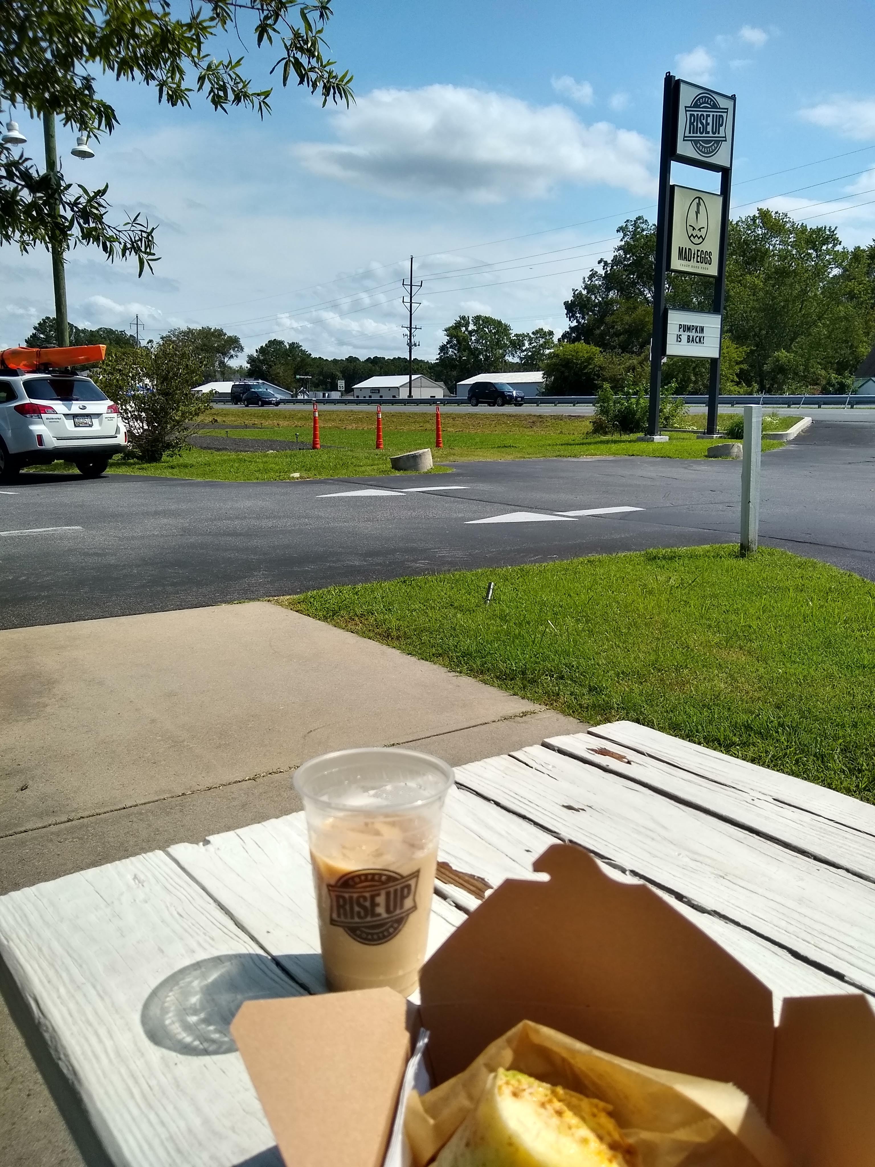
Once I got off the water and loaded my kayak, I was feeling pretty accomplished. The drive I had stressed about, the remoteness of this paddle that I had had some anxiety about, and the 8 total miles of open water that scared me – I conquered it all! I was feeling pretty empowered with both my physical and emotional strength, and so I had to celebrate with another trip to Rise Up on the way home for a burrito and iced chai 🙂