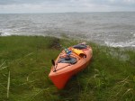
It’s been exactly one year (to the day!) since I completed the first leg of my overall goal. After today’s leg, I’ve paddled just over 66 miles in 20 hours and 18 minutes. I’m just about 10% complete (don’t forget the overall goal is to paddle around the entire Delmarva peninsula). Today I paddled from George’s Island landing in Stockton, MD to Queen’s Sound landing which is along the Chincoteague causeway. My first border crossing! And another cool thing – I finished the first leg on June 24 last year at Queens Sound (but I obviously came from the opposite direction this time). None of these coincidences were planned either. I just realized as I was looking at my records a few minutes ago.
 I drove to George’s Island landing, just east of the tiny town of Stockton. This landing is probably the most gorgeous landing I’ve seen yet. I love driving down a back road, usually wooded with a house here and there, and then all of a sudden, the landscape opens up and you’re right on the waterfront. This landing overlooks Chincoteague Bay, Assateague Island way off in the distance, and a few islands (I’m thinking one of them was George’s Island at one point). Before I took off, I snapped a few photos at the landing, just because this spot was so… the word enchanting comes to mind, but I feel like a nerd using that word. But whatever, it was enchanting. There was a man fishing from the bulkhead that even tried to convince me to buy the house that was right on the water. Tempting at $200k but probably not the best investment with the increase in strong storms we’ve been seeing.
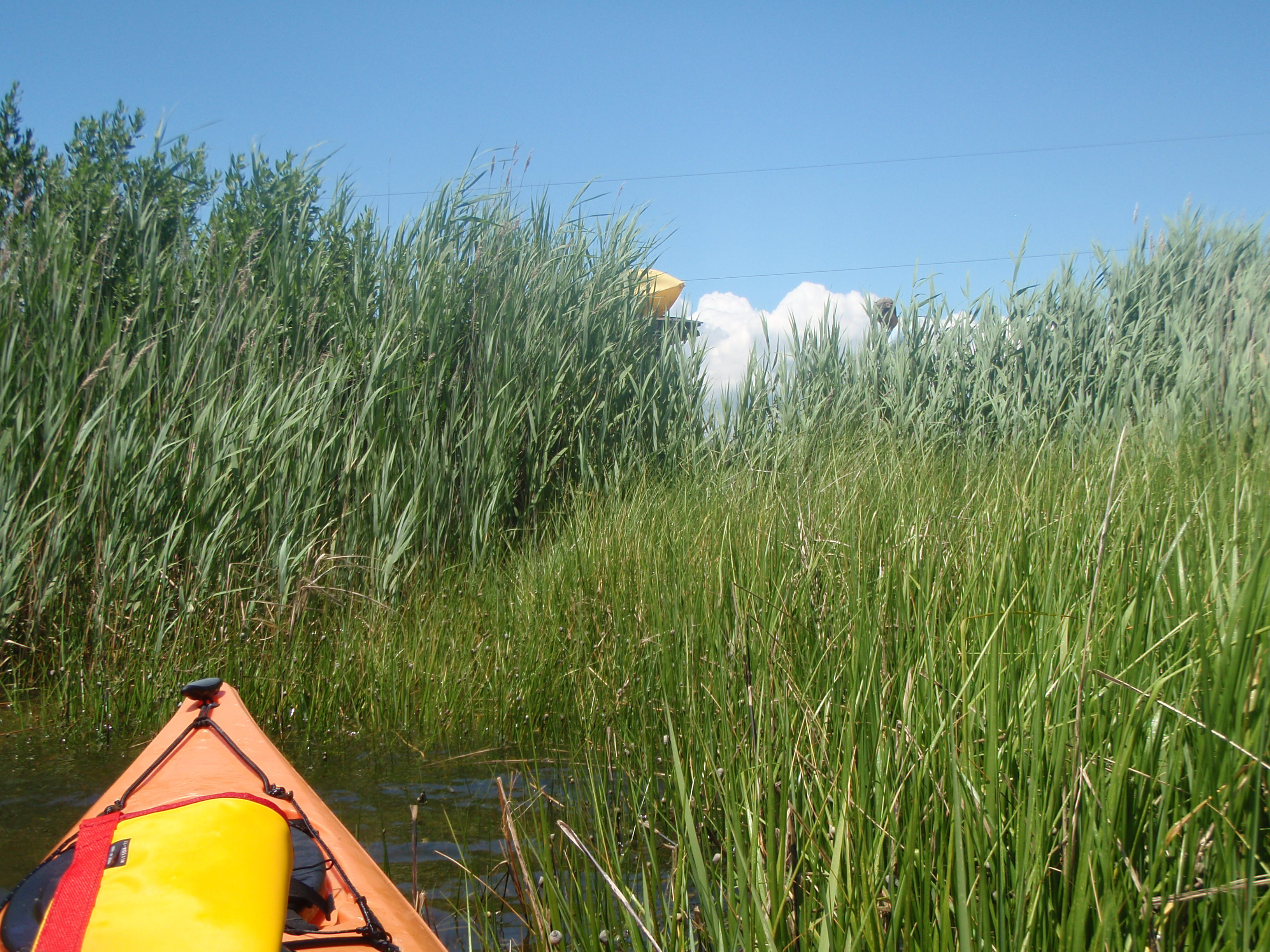
The first 7 miles of this 8.6-mile trip were lovely. Even though I was paddling directly into the wind, it was pretty easy. Much easier than yesterday’s paddle when I was paddling into the wind at an angle the whole time. I took a quick break on a spit of land near Greenbackville, and another break at the Captain’s Cove development. Brian was going to pick me up when he was done work so I sent him a text to let him know I’d be at the landing in about an hour and a half.
The last stretch of the paddle was tough. Not as rough as yesterday’s paddle, but it was definitely not as lovely as the first couple miles of this trip. I took my time paddling into the wind, careful not to wear myself out. I was only moving at about 2.5 mph, but I was making headway and feeling pretty good. It wasn’t until I had about a mile left that I hit a shallow spot. So shallow that it turned into a mud flat. Ugh, portage. It was nice to give my arms a break and use some other muscles, but holy cow, trudging through the mud and dragging my kayak behind me was way more exhausting that paddling against the wind!
I did however get to see some cool stuff in the water. Lots of crabs (thank goodness for my closed-toe Tevas), anemones, and a terrapin! Since the water was so shallow and I was not in my kayak, she was easy to spot and easy to grab! I kept her just long enough to snap a photo and let her continue on her way. This sort of cheered me up and made me stop bitching at the mud flat for a few minutes.
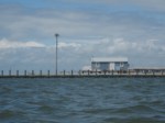
FINALLY I got into water that was deep enough to paddle again! The last mile or so was exhausting, but I finally made it under the Chincoteague bridge and completed the paddle at the boat ramp at Queen’s Sound landing. I wish I had more pictures to share with this post, but somehow I deleted all but one of them. None of them were life-changing, earth-shattering shots, but it would have been cool to show some of the sights and the terrapin!
Take a look at my path. If you zoom in enough on the section between the causeway and Captain’s Cove, you’ll see the line is not as smooth. This is where I had to portage across the mudflat. Not fun 😦