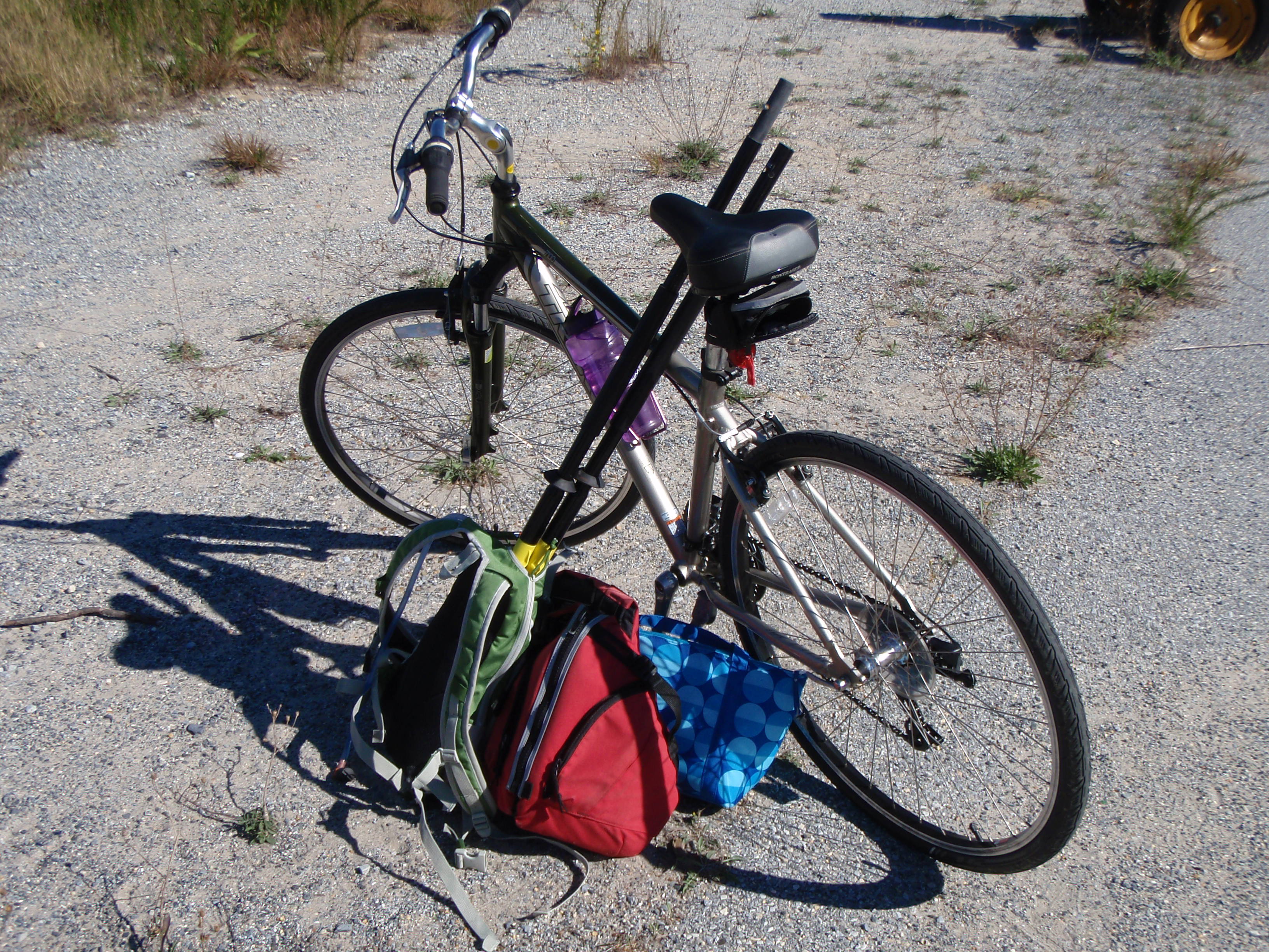
Today, September 27, 2014, I paddled from Beach Plum Island to the Lewes Canalfront Park. The distance was 3.5 miles but since I was going solo and biking between the start and finish would have been long and tricky, I decided to paddle an out-and-back, totaling 7 miles. Here’s the path I took:
 I started the journey at the Lewes boat ramp, located at the end of Pilottown Road. I had never been to this boat ramp and didn’t really have any expectations, but my god! Soooo much parking! I pulled up to the ramp, unloaded my gear, and then went to park my car. The parking area for “single cars” (aka no boat trailer) was a tiny section in the back corner of the lot. I almost felt like I didn’t belong there because there was so much parking for boat trailers. As I was walking back to my kayak, a man stopped to say hello, and also complimented me on my kayak unloading skills. He said he saw me and was going to walk over and offer to help, but realized “that girl knows what she is doing”. Yup – that’s right :).
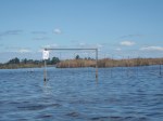
The tide was coming in so the first stretch was really easy. I paddled to the north end of Beach Plum Island in probably 10-15 minutes. The only challenge I had was dodging the fishing lines – there were probably a dozen people scattered along the bank fishing. I wasn’t expecting this because I just thought everyone came to Beach Plum to fish the surf, not the back bay. Although I suppose being that close to Roosevelt Inlet that some decent sized fish are in that water.
Once I got to the spot where I finished my last trip, I turned on my GPS to start tracking my path and I turned around and started heading back towards Lewes. I was a bit nervous that this would be the most difficult part of the trip because I was going directly against the tide. Surprisingly though, as long as I stayed close to the edges of the creek, it was pretty smooth sailing.
As I neared the Lewes boat ramp, I felt the need to hydrate so I grabbed for my water bottle. Not there. What? I must have left it in the car. Yeah that’s it. Okay so once I get to the boat ramp, I’ll take a quick break and grab it from the car. Wait. No wait, I don’t remember putting it in the car this morning when I left the house. Where the heck is my water bottle? Oh. Right. Sitting on the kitchen counter. Nice one, Laura. I suppose it would have been worse had I left my paddle or something at home, but this was still quite frustrating. No worries though – I can power through it.
 I then continued on passed the boat ramp and towards Roosevelt Inlet and Lewes. Paddling passed inlets always makes me a little nervous because I never know what the currents and the tides are going to be like. This inlet was just like Ocean City, Metompkin, Gargatha, and Wachapreague inlets – uneventful and easy to just cruise on by.
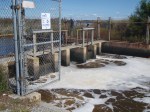
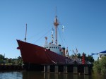
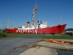
Because the tide was still coming in (I hoped to time it so that it was going out when I turned around at Canalfront park) I cruised passed the UD wind turbine, all the pretty houses and boats, as well as the Lewes Life-Saving Station and the Lightship Overfalls. I’ve toured the inside of both of these places but it was cool to see them from the water. I finally stopped as a “kayaks only” boat ramp, right next to the Overfalls.


I got out, stretched, ate a snack, turned off my GPS, and checked the time. The tide was not supposed to change for another 45 minutes. Ugh, not worth the wait, so I decided to head back and power through the incoming tide. I could use the workout.
This time I hugged the east side of the canal which is mostly marsh grasses and again, as long as I stayed close to the shoreline, paddling against the tide was pretty darn easy. However, as I passed the inlet for a second time, there were definitely some eddies and swirlyness going on that I didn’t feel the first time. Not bad though – just had to push through it and as soon as I was passed the inlet, the tide simply carried me right back to the boat ramp. Not a bad paddle for a beautiful Saturday morning (without drinking water, mind you)!