Last Saturday was a BIG day on this journey. I finished the last leg on the Atlantic side of the peninsula! I’ve now paddled everything from Bowers Beach, DE to Cape Charles, VA (not to mention everything from Kent Island, MD to Hacks Neck, VA on the Chesapeake side).
The stretch between Red Bank and Oyster had me perplexed for a few years. It is long (15 miles), middle of frickin’ NOWHERE, and probably pretty susceptible to tides and wind. Because of all this, I decided a few years ago that this stretch would have to wait until I had a paddling buddy to go with me. Luckily the stars aligned last Saturday to make that happen! I made plans to paddle with Lisa and Kim (Kim came with me last year from Red Bank to Quinby). They are both members of the Badassawomen of Delmarva group (aka BAD) and I knew both of them had the stamina and the gear to do a 15-mile trip. Unfortunately, Kim’s kayak had a last minute equipment malfunction and was unable to join us, but she was still super kind enough to help shuttle us from one end of the journey to the other (thanks, Kim!).
I’ve known Lisa now for 15 years. She was actually the first person to ever give me a tour of the Indian River Life-Saving Station, way back in 2006. Our career paths have crossed several times over the years and I was stoked she could join me for this piece of the trip. Since she lives near me, we were able to ride together, and I was very grateful that she had a pick-up truck to haul both kayaks – so much easier than a roof rack.
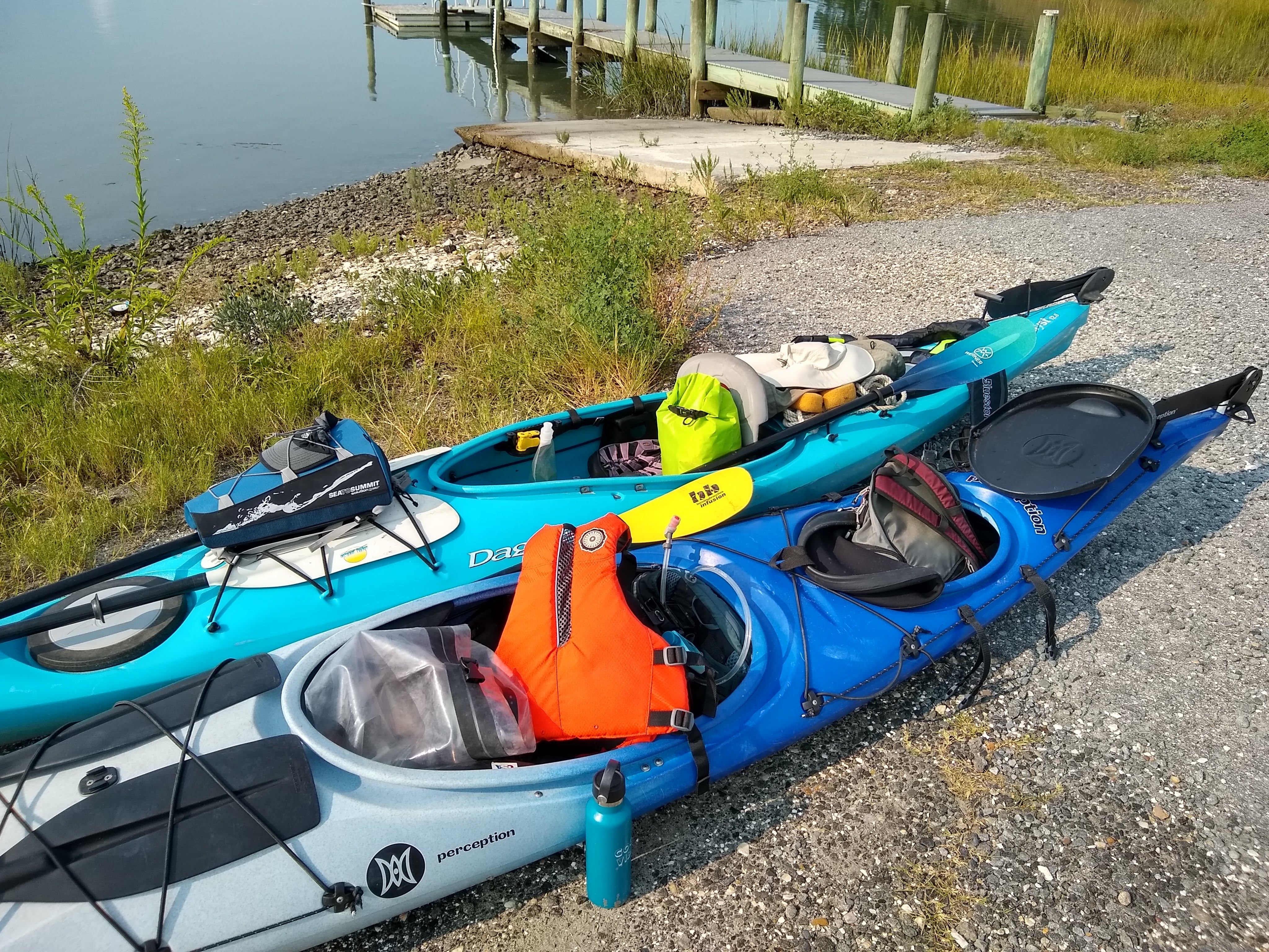
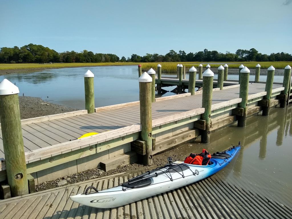
When we arrived at the boat ramp in Oyster, we unloaded all of our stuff. Holy cow. It was so much stuff. When I looked at everything laid out on the ground, it looked as though we were headed out on a multi-day trip! But when you’re prepared and have everything from hydration packs and first aid kits to paddle floats, bilge pumps, and extra paddles, it adds up quickly. Lisa then drove to the ramp at Red Bank where Kim met her to shuttle her back down to Oyster. During the 40 minutes she was gone, I enjoyed relaxing on the dock of the kayak launch, watching the tide creep up the bank, and watching at least a dozen boats launch! It was a beautiful Saturday so I could see why so many people were headed out on the water.
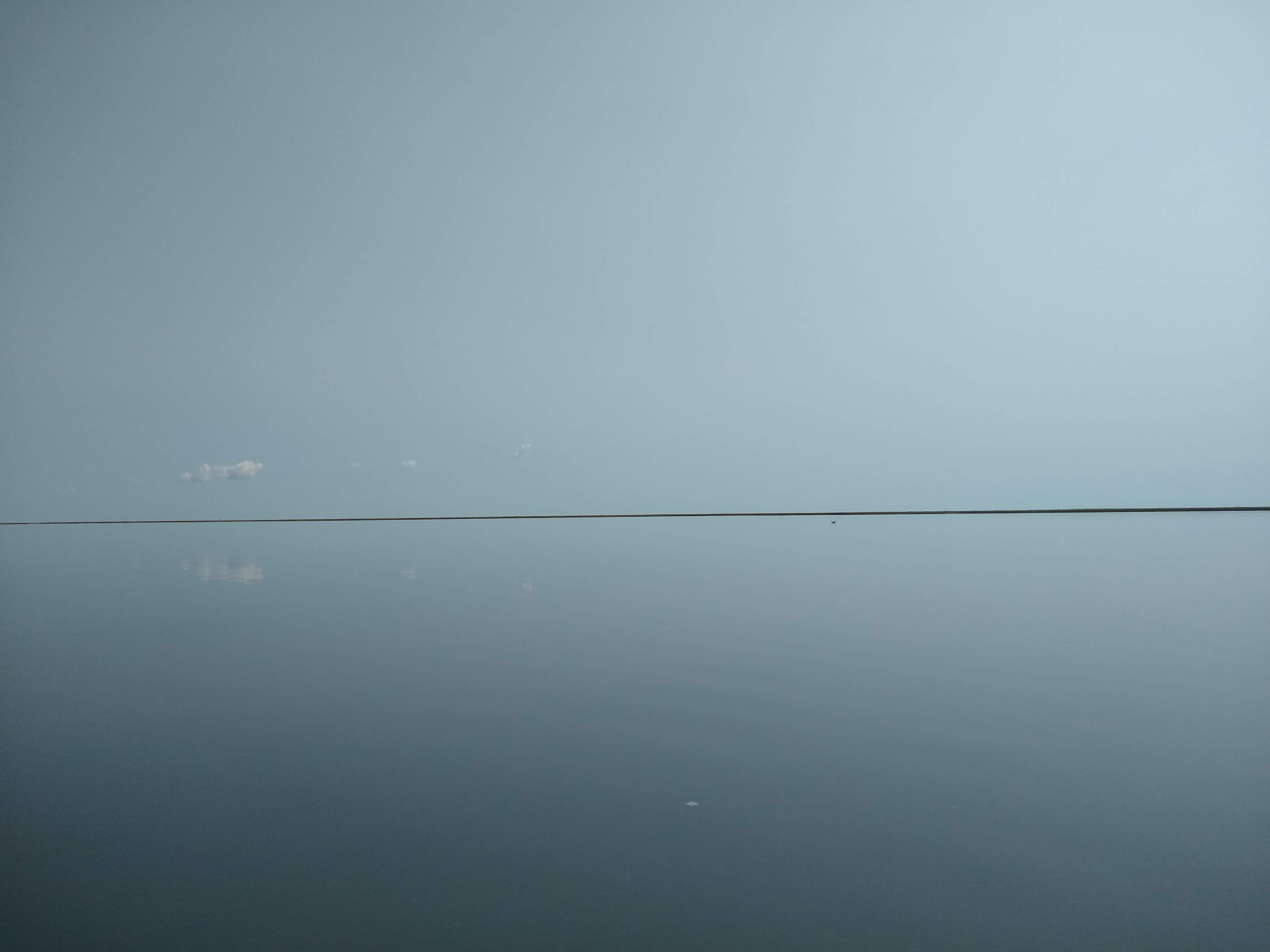
As soon as we launched and paddled out of the harbor, I was thrilled with how high the tide was (thanks, offshore Hurricane Henry!) and how calm the water was. It was like a mirror and very reminiscent of the conditions that Kim and I paddled last year. And despite the many boats I saw launch at the ramp, there wasn’t a boat in sight, or in earshot. If we stopped paddling for a moment, it was completely silent. It was pretty cool. I hadn’t heard silence like that in… I don’t know how long.


When I scoured Google Earth last year to examine the possible paths to take on this leg, I figured we’d have to follow the marked channel, as Ramshorn Bay appeared to be super shallow, and if you’ve followed my blog for several years, you KNOW I don’t need a repeat of the great low-tide mud incident of 2015. But due to the high tide, we were able to stick pretty close to the mainland and enjoy the pretty views of the golden, fall marsh grasses, without any issues with mud! The first 9+ miles of this trip was mostly through open water and I found myself feeling pretty grateful to have a paddling buddy. Although this stretch was absolutely beautiful, it was a lot of the same scenery – open bay to the right, marsh on the left. For 3 hours. Having someone to chat with along the way was wonderful. Sometimes when I paddle long, open-water stretches alone, particularly in remote locations, I get too in-my-head about how far I’ve gone, how much further I have to go, was that thunder or aircraft… all kinds of thoughts. But before I knew it, we were 10 miles in, and entering the marsh creeks just south of Red Bank. Check out our path on the map:
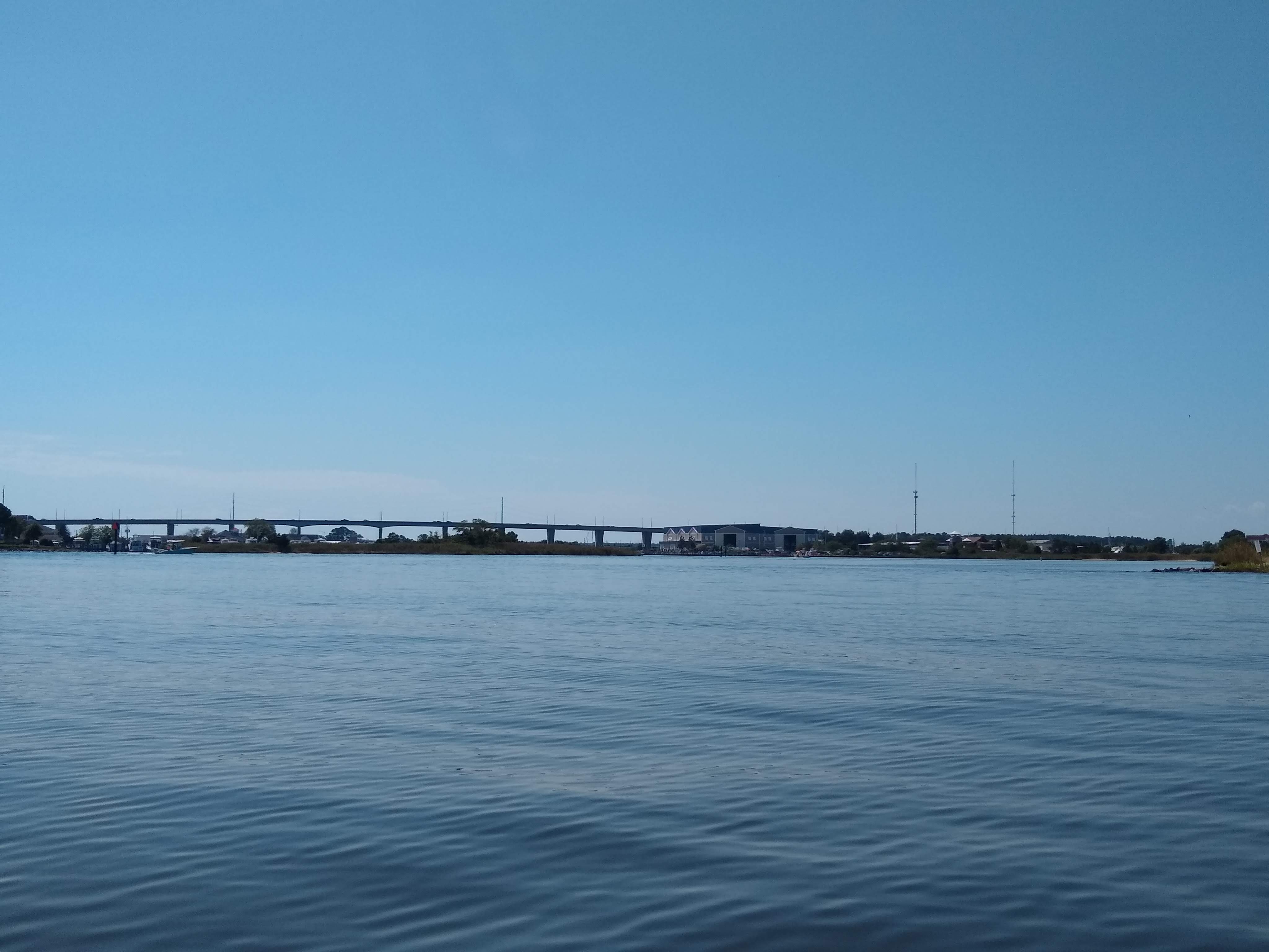
The Virginia Water Trails map shows this creek to be navigable, but cautions that low tide could make for a challenging trip. Although the tide was on its way out, it was still pretty high, which allowed us to navigate the narrow creek without any issue. Since the tide was going out as we entered the creek, we definitely noticed we were paddling against the current, but luckily it wasn’t super strong. But when we passed smaller creeks that fed into the larger creek we were paddling, the water got weird. Swirly little eddies formed. It wasn’t super challenging to paddle through, but we definitely noticed our boats moving differently from time to time. And somewhere about halfway through the creek, we passed the threshold of the outgoing tide, and felt the tidal current pushing us towards Red Bank. I was enjoying the helpful current so much that we almost missed our turn into the creek that would take us to the boat ramp! We had to back track a tiny bit and as we turned around, that outgoing tide was VERY noticeable, along with the south wind which was against us as well! But once we got into the final creek to take us to our finish line, the last mile was pretty smooth sailing.
As I sit here and reflect on the journey, the words I would use to describe this trip would be “peaceful” and “quiet”. I still can’t quite get over how quiet it was. And not just because there were hardly any boats, people, or aircraft, but also because we saw hardly any wildlife! Not one osprey, bald eagle, or oystercatcher. Not even a terrapin. A handful of gulls, great egrets, two herons, and a jumping needlefish about sums up our list. We did see one bird species though, which we guessed was a whimbrel, but I had to look it up to confirm when we got home – we were right! Kim is a very skilled birder so we definitely missed her today when we saw those guys.
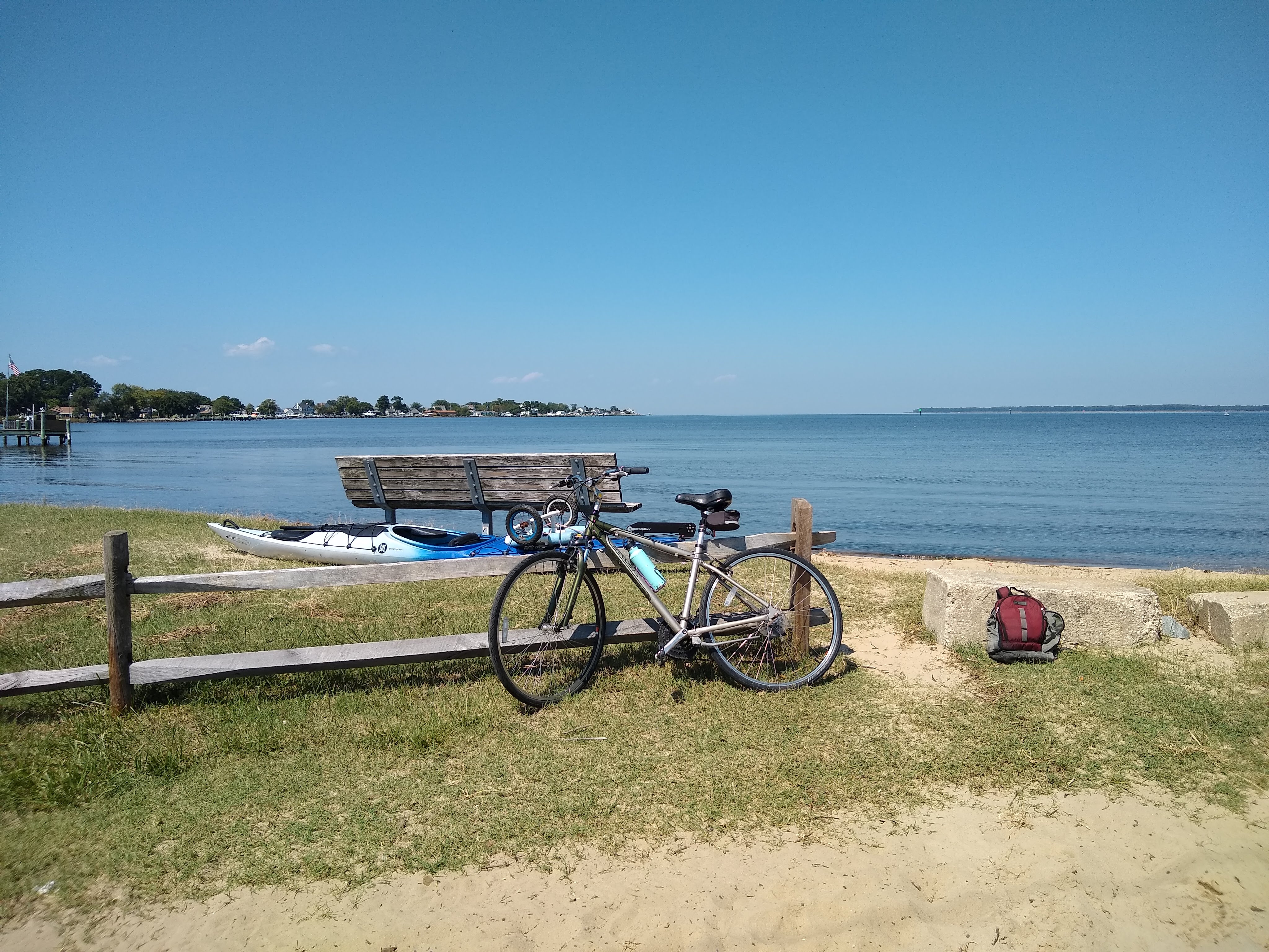
Despite few wildlife sightings, the tranquility was just what my soul needed. And I am beyond thrilled to have reached the milestone of paddling the entire Atlantic coast of the Delmarva peninsula! I’ve now paddled 460 miles of my ~650 mile goal 🙂