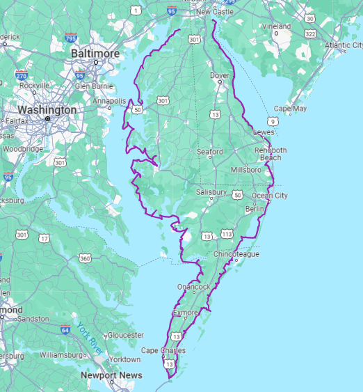
It’s been almost a month since I completed this journey. It was 600 miles total to circumnavigate the peninsula. I promised a reporter in Ocean Pines that I’d let her know when I finished so she could write a story about it. Since that article, my story has now been in three newspapers and I was interviewed on WRDE CoastLife TV show. Feeling some serious imposter syndrome now! Like, is this really news?!
Anyway, I paddled a total of 600 miles that counted toward the overall goal. That 600 miles does not include the extra miles I paddled on some of the out-and-back trips, so I actually paddled 645 miles if we’re getting technical. And that also doesn’t include all the inland paddling I did for fun over the years, and the many kayak trips I led at work.
I’ve been wanting to run some stats on my journey, and I’ve also been wanting to say thank you to everyone that helped make this journey possible over the years. Here are some (probably boring to most) numbers about my journey:
183 hours and 35 minutes of paddling
3.26 mph was my average speed (average moving speed was probably more like 3.5 mph)
74 separate trips (and 74 individual blog posts!)
91.5 miles were paddled with friends
20 trips where I biked back to my car after paddling
169 miles biked
5 miles walked/ran to get back to my car (I only did that on one trip!)
37 trips I had a friend, family, or shuttle company drive me
11 trips were out-and-back
20 trips were in September (the most paddled month – due to nice weather, and quieter work schedule)
1 ferry ride, combined with a bike ride to get back to my car (in Oxford, MD)
115 miles logged in 2023 (the most of any year!)
95 miles logged in 2020 (the second most)
4.8 miles logged in 2018 (the least of any year – not sure why I was so lazy in 2018? thought it was going to be 2016, the year I had Patrick! – I logged 16 miles that year)
3 kayak-camping trips (Mockhorn Island, Cedar Island (yes, illegal and now that spot is underwater) and a random sand bar between Champ and Crisfield)
2 Airbnb properties used to launch when there was no public access
10,000 miles driven… hah! JK. I didn’t track that. But dang, I’m sure it was a lot. All those miles on back roads to get to remote boat ramps with no cell signal… ugh.
And now a shout-out to all that made this journey possible!
First, I need to thank my husband Brian, for always being my float plan person, helping me read tide charts, encouraging me to go paddle when I was on the fence about going, shuttling me on TWENTY different trips, paddling 3 legs with me, and camping with me on all 3 of the kayak-camping trips.
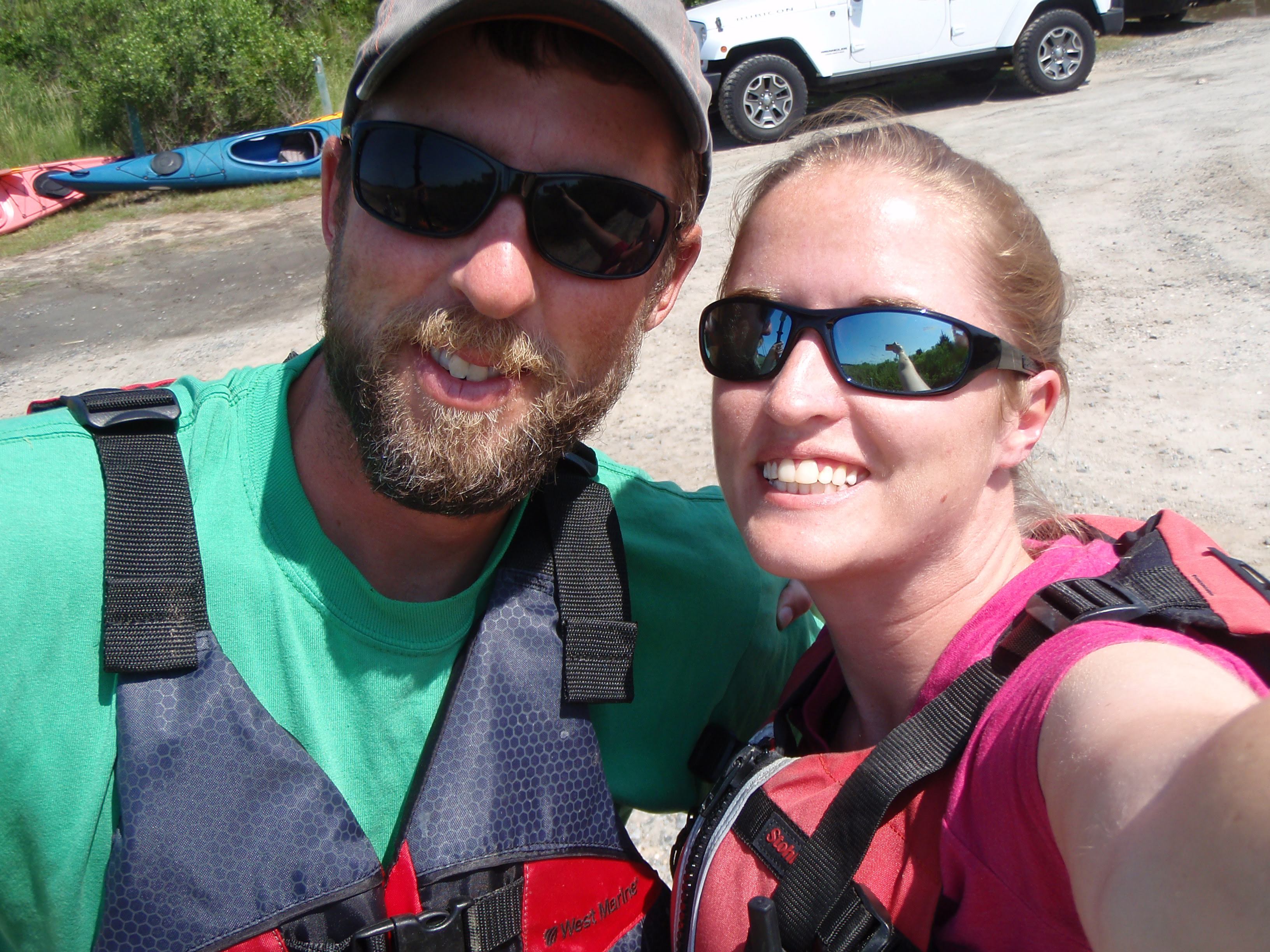
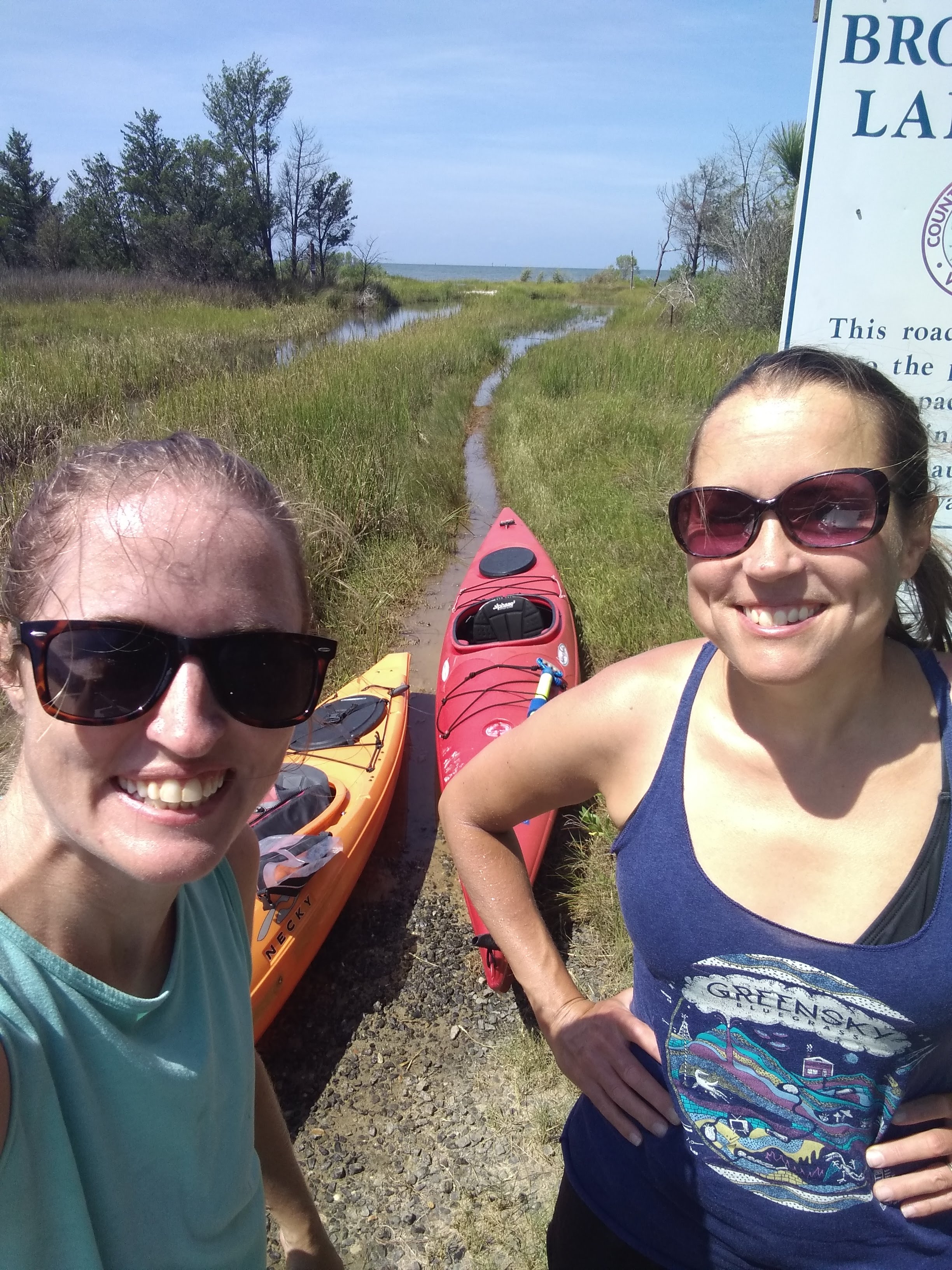
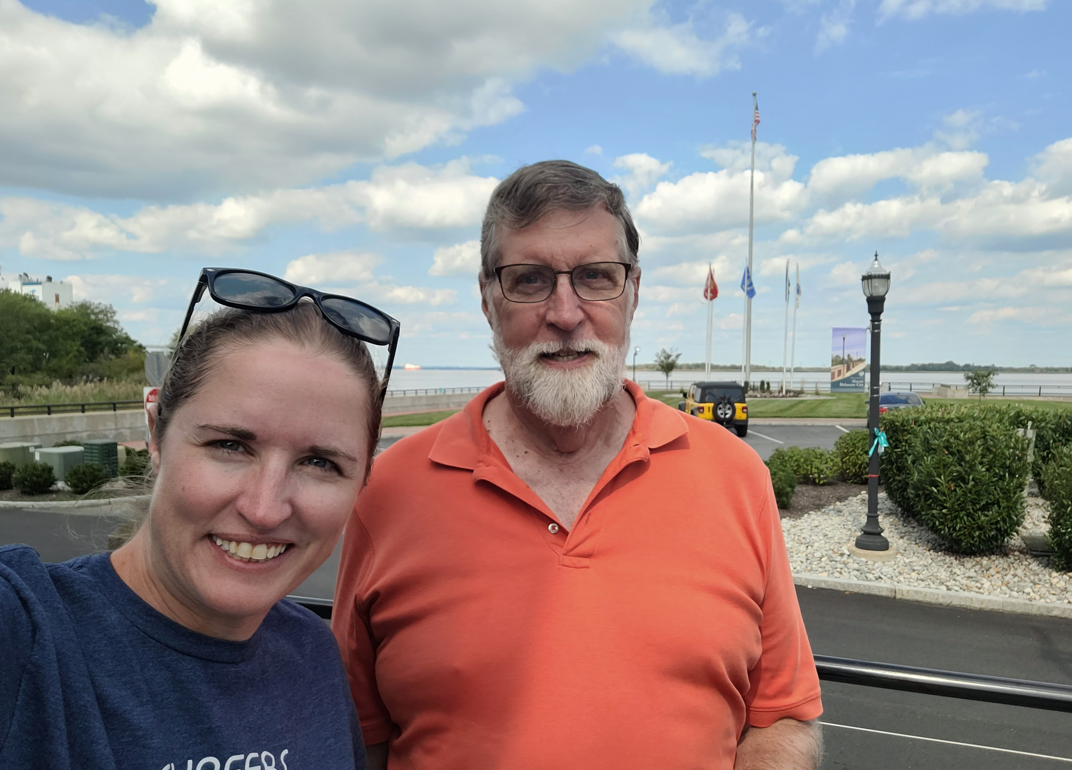
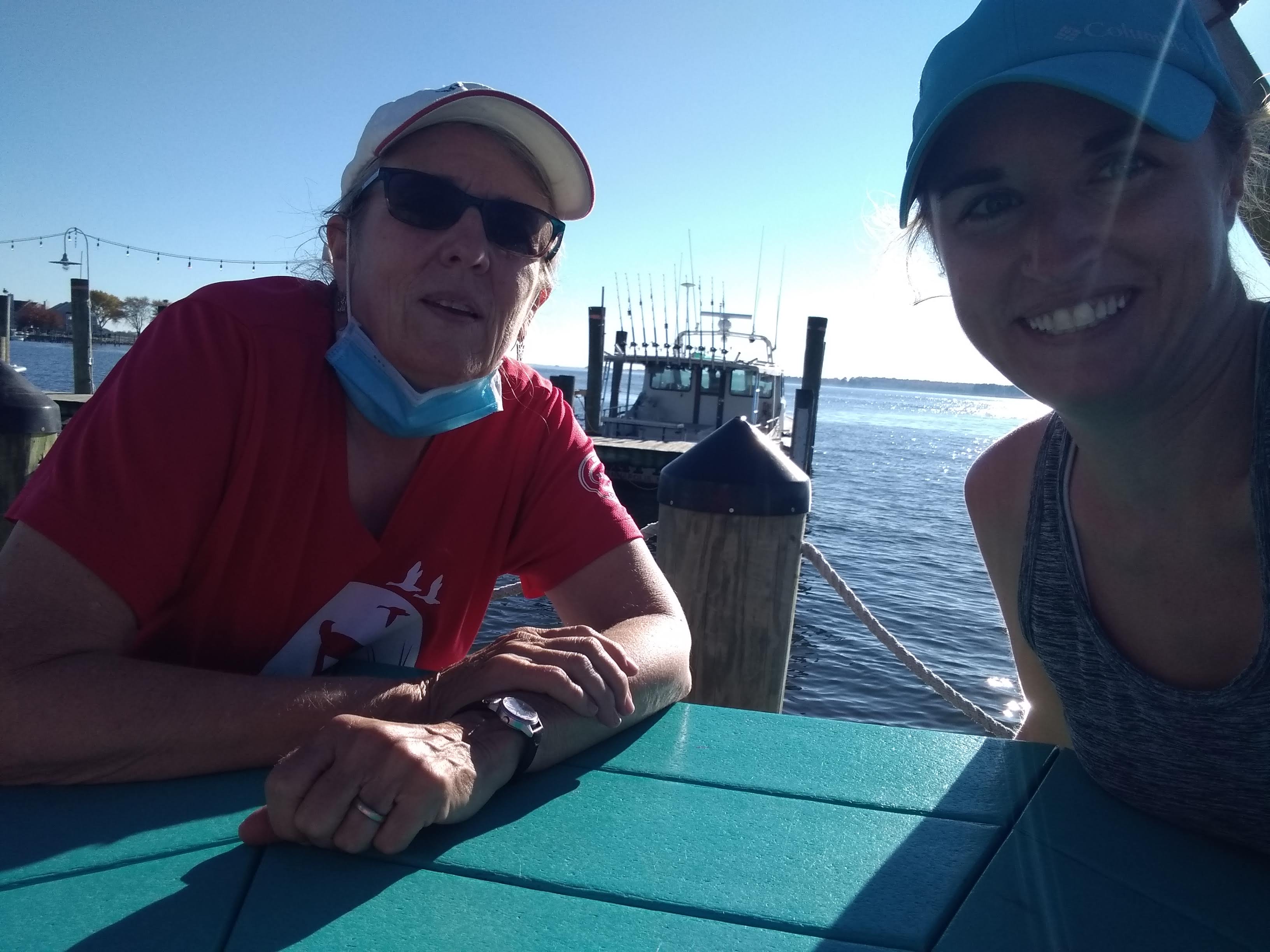
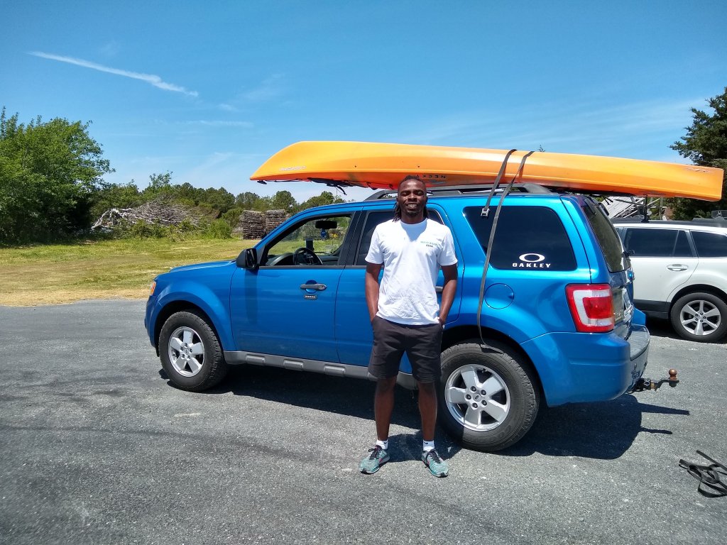
Next, a thank you to everyone else that helped shuttle me – my Dad, Aunt Margaret Ann, sister Julia, co-worker Lowell, and Wave Riders shuttle company on Virginia’s eastern shore. (forgot to get photos of Margaret Ann and Lowell – sorry guys!)
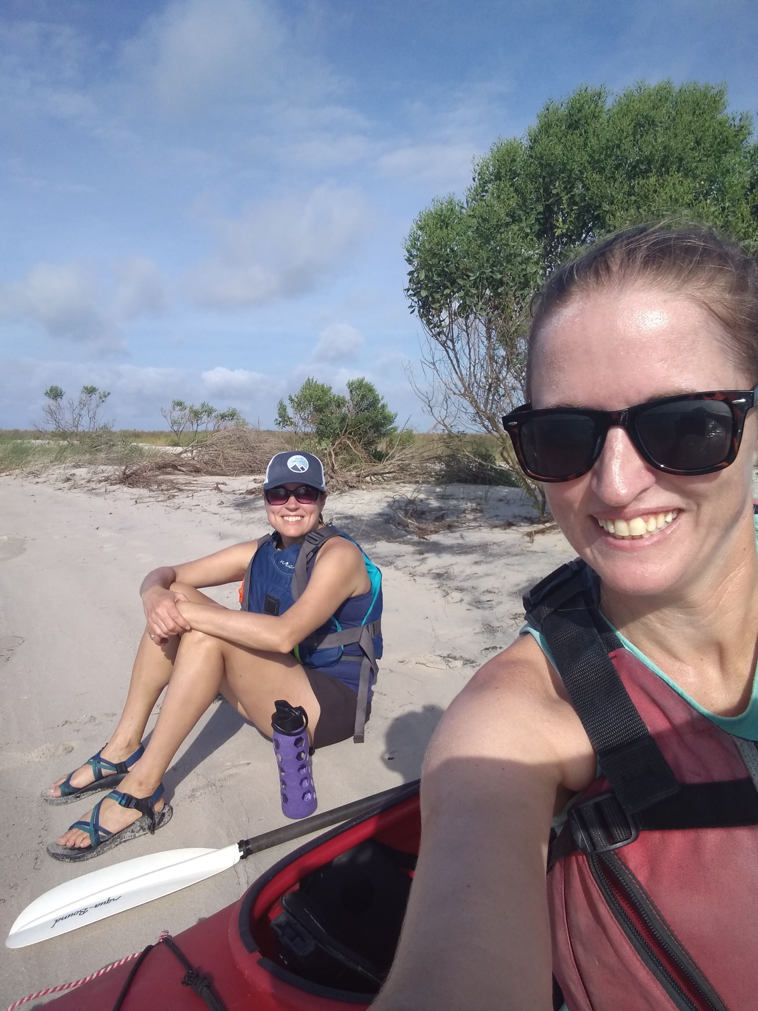
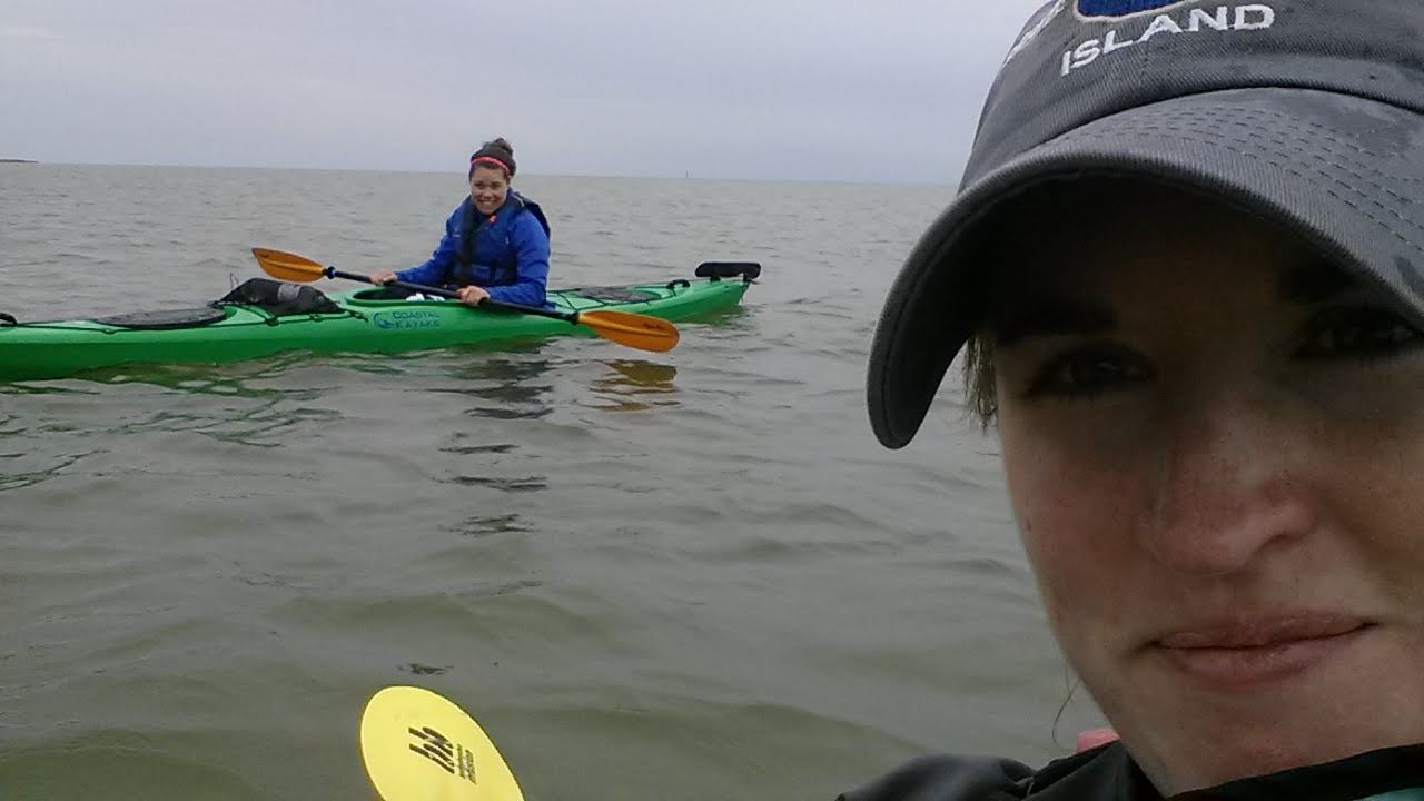
I also have to thank everyone that came and paddled a leg with me. Thanks to my sister Julia, my best friend Julia, Badassawomen Lisa & Kim, and super experienced sea-kayaker Mike (and his 3 other awesome kayaking friends, Gail, Samm, & Adam) for breaking the monotony of paddling alone and coming along on some of the longer, more remote paddles.
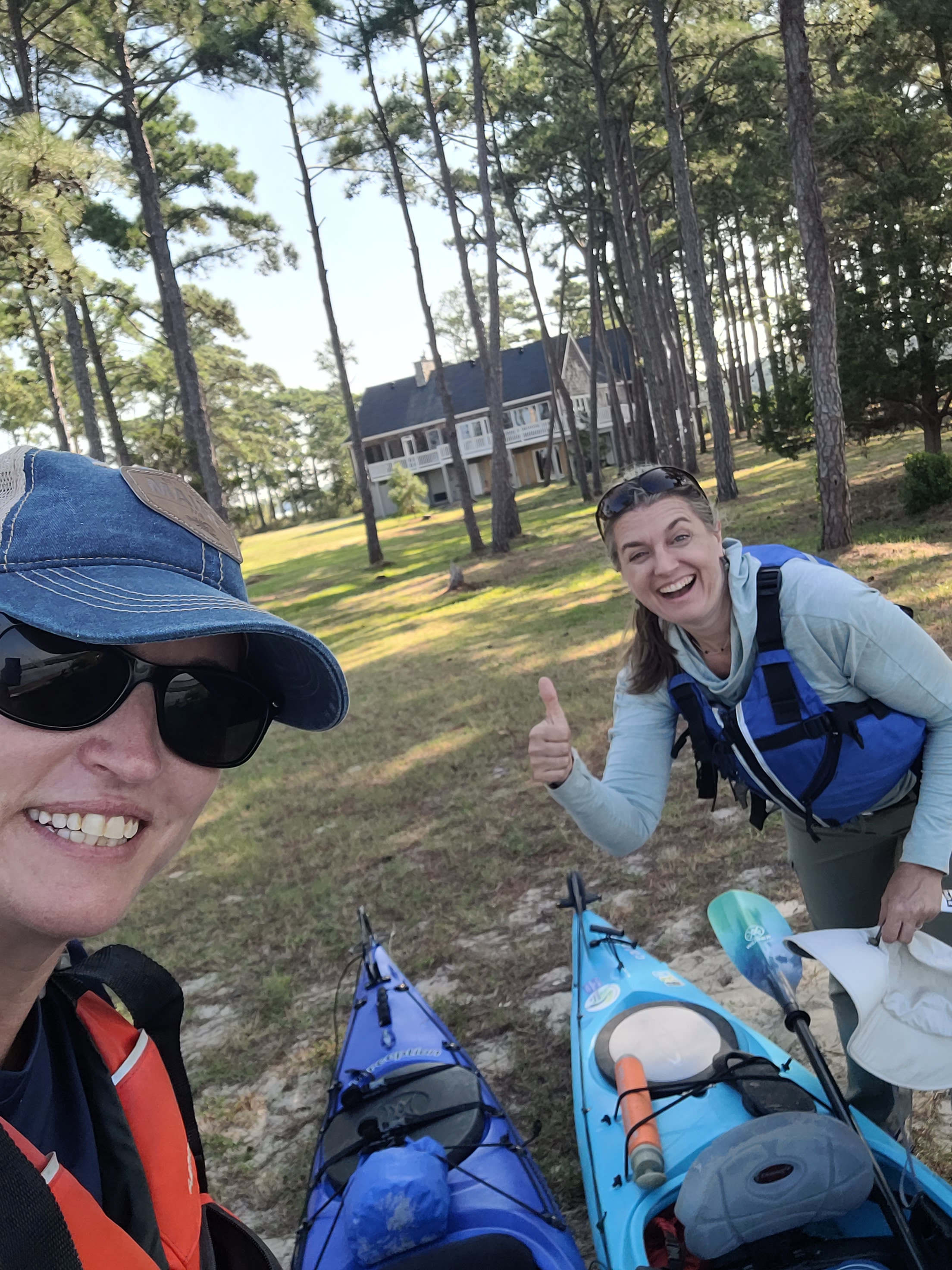
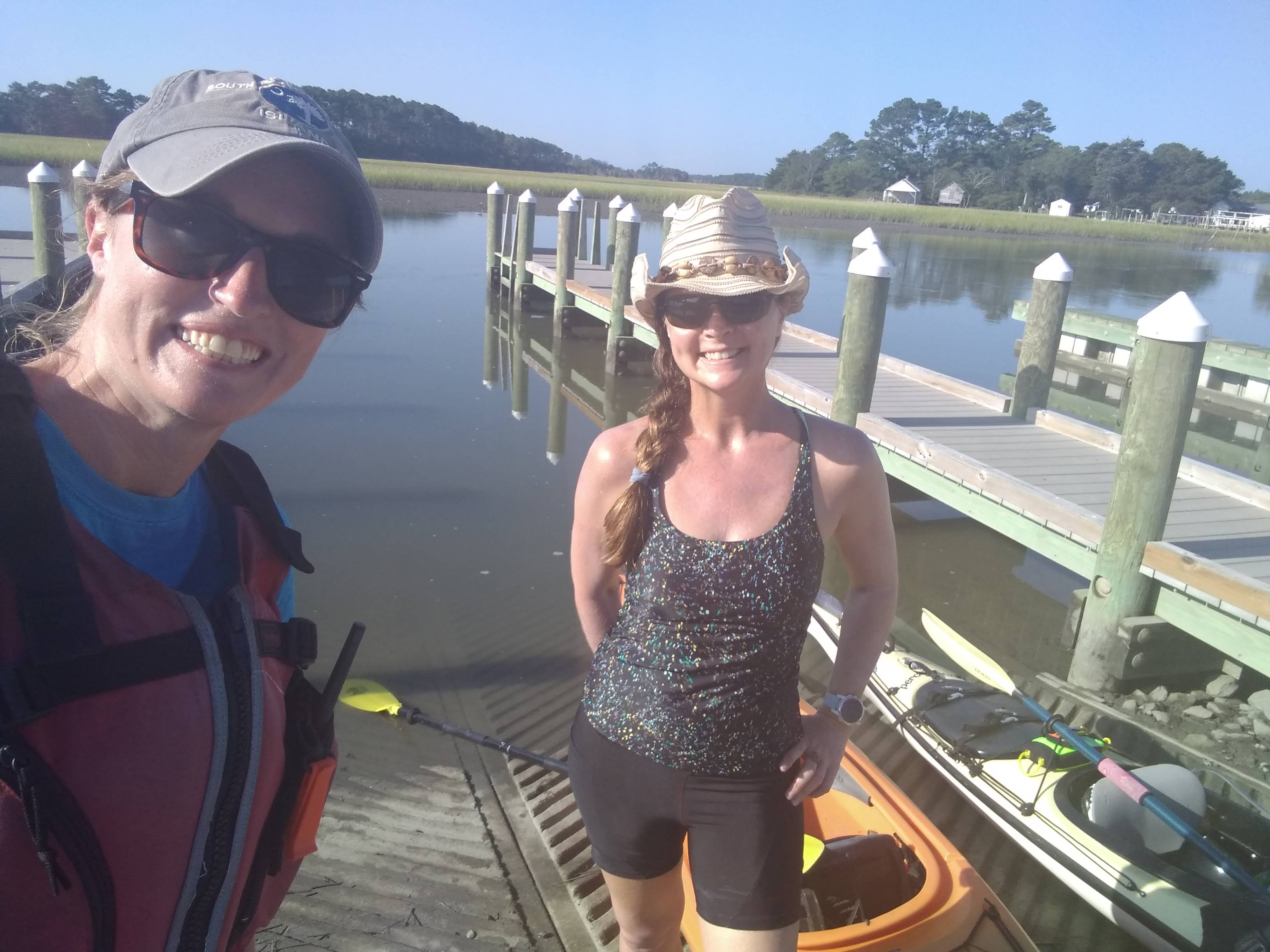
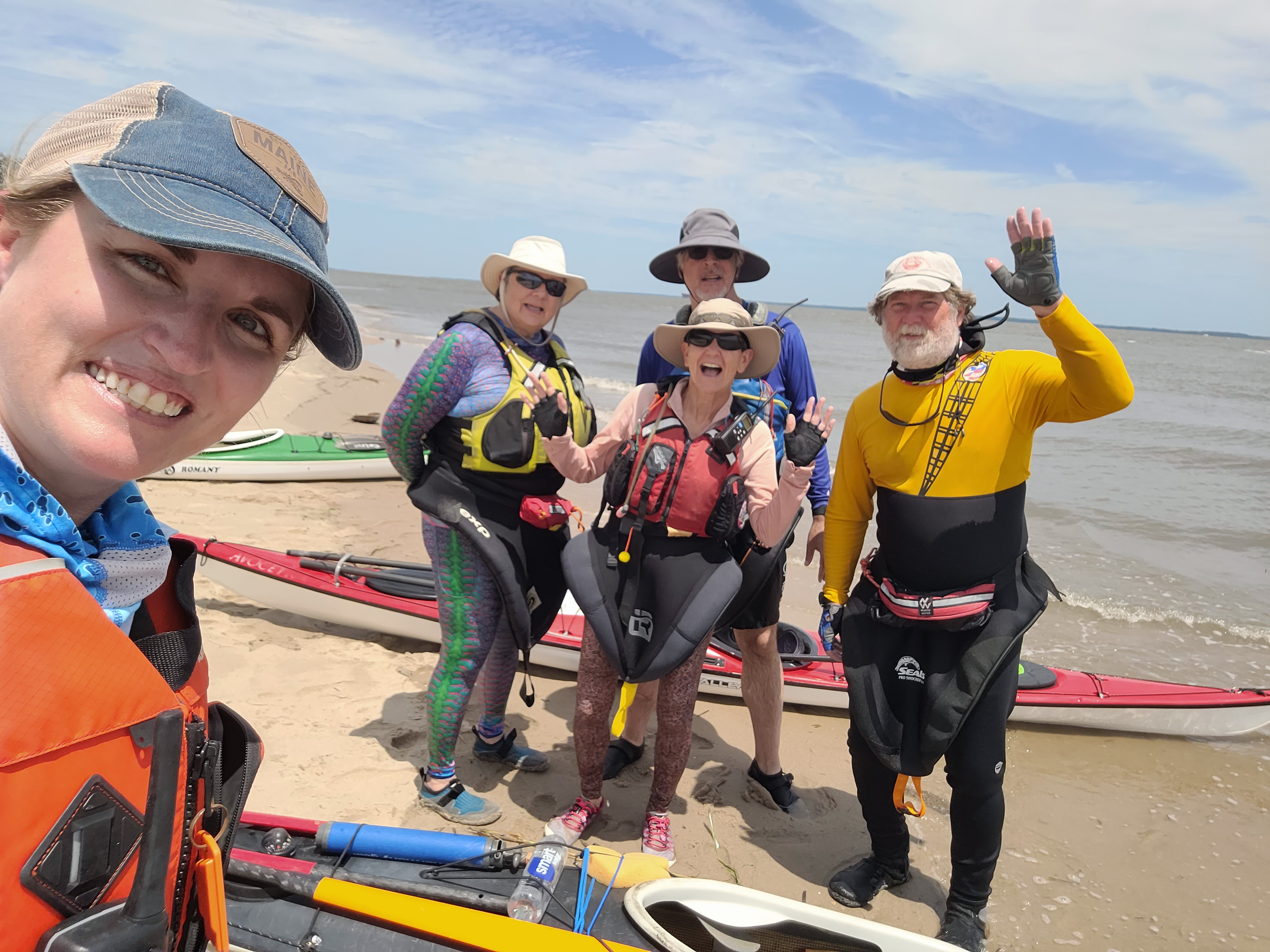
I also couldn’t have done this without unconventional water access points in areas where there was no public access. Thank you to Lambert Shellfish in Machipongo, Virginia, that allowed me launch from their property TWICE this year. There’s about a 30 mile stretch of shoreline on the lower Chesapeake side of Virginia’s eastern shore with no public boat ramps, so being able to launch there was key!
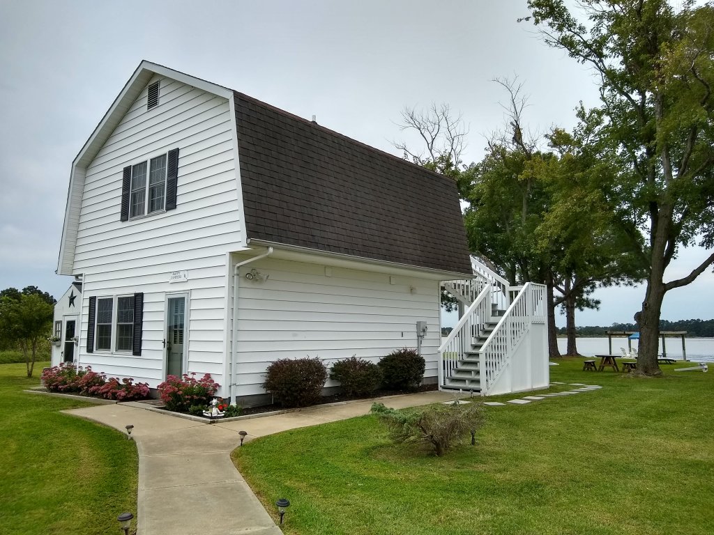
I also launched from two vacation rental properties. One was located near Onancock which we had rented for a long weekend. Check that out on VRBO: https://www.vrbo.com/630033
There was another long stretch near Cambridge, Maryland that had no public access and I was able to find an Airbnb that was exactly halfway between the nearest boat ramps. I didn’t book this place, but I did request permission from the owner, Lisa, to launch my kayak there. She was so accommodating, didn’t charge me a dime, and even let me use her bathroom. Check out her property here: https://www.airbnb.com/rooms/17871330
Aside from friends and family that helped shuttle me, I was super grateful for Wave Riders, a local business on the lower eastern shore of Virginia (where I don’t have friends and family!). I booked a shuttle with them 3 different times and one time they even hauled my kayak for me!
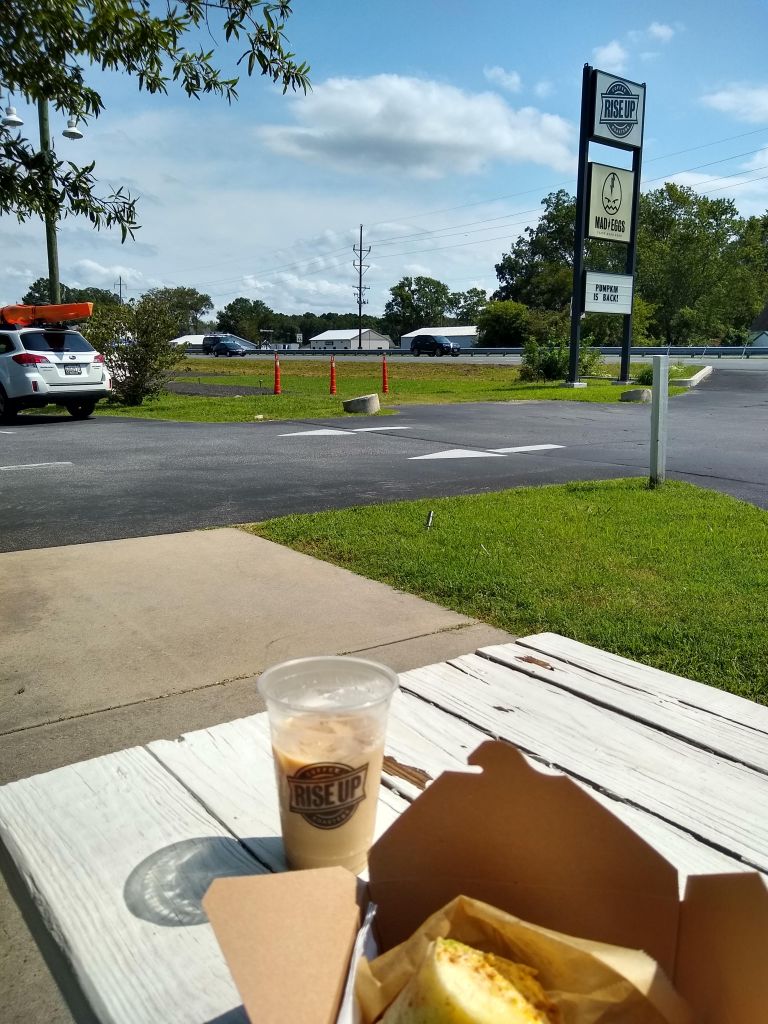
I also need to mention Rise Up Coffee! Specifically the one in Cambridge. I stopped there countless times on the way to, or the way back from, multiple trips across the shore. And sometimes I would hang out in the West OC location to write my blog posts. Rise Up really became a staple in this adventure.
And last, but certainly not least, I need to thank everyone that cheered me on along the way. Friends, family, coworkers, random people in paddling facebook groups, people I met out on the water. Not one person thought my goal was silly or unattainable.
So now what?
I’m seriously thinking about paddling all the major rivers on Delmarva. I can even keep this same blog going without starting a new one. If anyone wants to join me on future paddles, please reach out! I do love paddling solo, but it gets lonely out there sometimes!

