
For anyone that’s actually following my blog (you know, other than my mom), you’re probably wondering if I’ve gone absolutely crazy, or if I’ve quit my job. Well, I’m half way through a 2-week “staycation” and the weather has been ideal of paddling, so I have gone a little paddle-crazy, as I’m trying to take advantage of it all!
Yesterday I paddled from Crisfield, MD to Saxis, VA:
This stretch has given me a little anxiety as I’ve stared at the empty hole on my map and wondered how to conquer it. Is there a way to break it up? Can I really handle that much open water? I’ll need a paddle buddy or a ride; I can’t bike 41 miles after 12 miles of paddling. I scoped out a DNR-owned boat ramp on the north shore of Pocomoke Sound last year, and it seemed super sketchy, so I wasn’t all about using it as a half-way point. So how did I cover this leg?
Brian and Patrick to the rescue! We didn’t have any plans yesterday, and I couldn’t ignore the NOAA forecast of 5 knots and flat waves (like OMG it’s NEVER that calm), so Brian agreed to drop me off in Crisfield and then take Patrick kayak fishing around Saxis where I would meet up with them at the end of my trip.
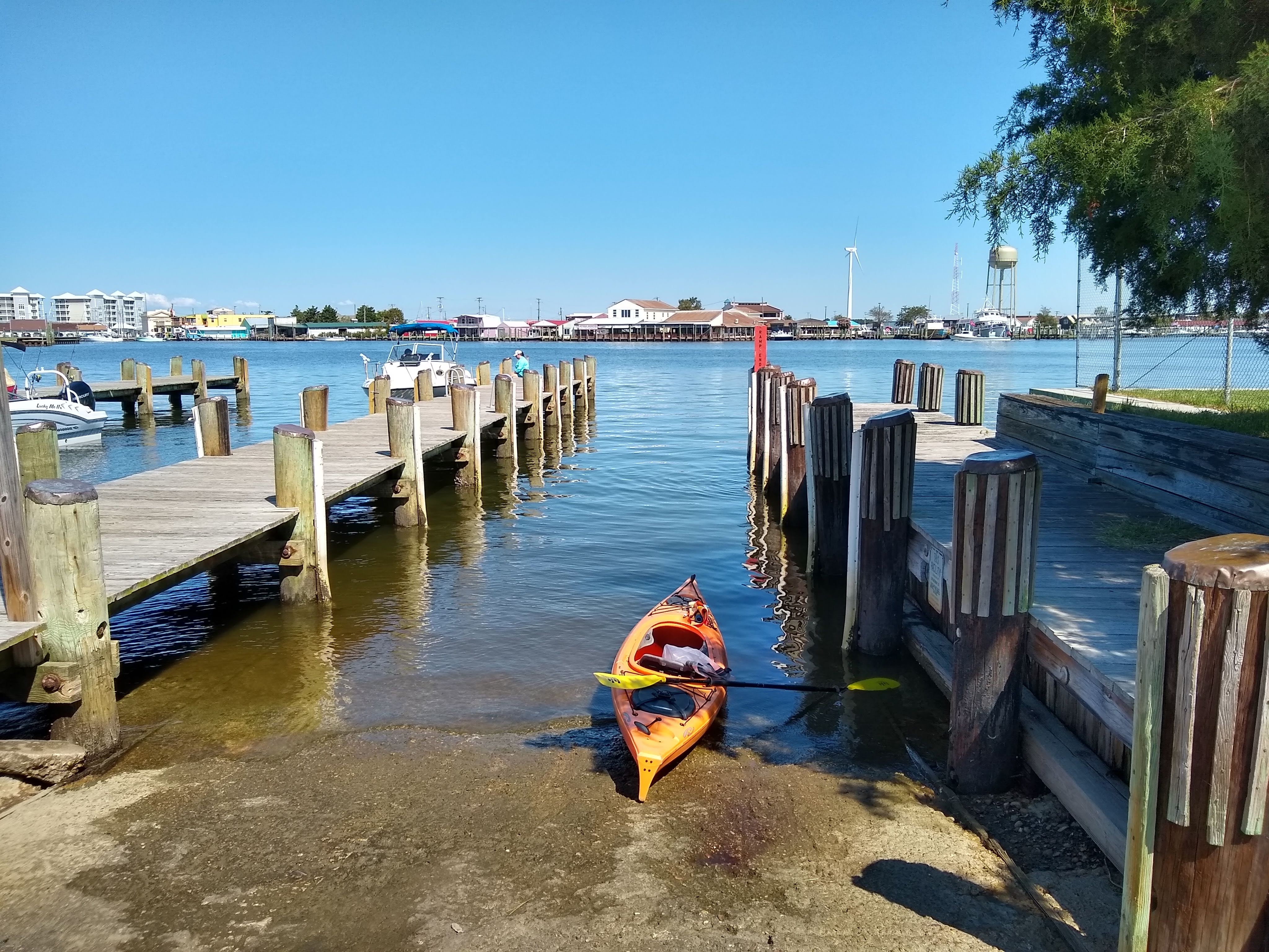
Brian and Patrick dropped me off at Somer’s Cove where I had finished a trip over 6 years ago! I barely remembered what the boat ramp looked like. On the way to the the ramp, we explained to Patrick what was going to happen, and that Dad was dropping Mom off to go kayaking but that Mom would meet us later on. But still, as I paddled away from the ramp, I heard Patrick yelling “Mommy, what you doingggg?” LOL. Poor little dude. He’ll figure it all out in a few hours.


Although the wind was super calm, I still had to deal with quite a bit of wake from boats passing by. Crisfield was hopping with boat traffic with the barely 80 degree weather. Once I got about 2 miles out from town, I was paddling along Cedar Island Wildlife Management Area and through a pretty marsh creek. Pretty until the flies set in. Yeah it’s great to paddle in little wind, but dang the flies are terrible when there’s no breeze. Every couple strokes I had to swat them. I must’ve been bit 25 times!
Another thing to note in the creek was a random guy on a boat that slowed waayyy down (honestly, I get annoyed when boats slow down for me – I can handle your wake, just keep going!). He slowed down enough to ask if I wanted to race! “I want to race you! You’ve got quite a wake behind you in that thing!” Before I could think of a witty response, his giant German shepherd started barking and going nuts. Not sure what that was all about, guess the pup didn’t feel like slowing down and chatting either!
Soon I spotted the open water (Pocomoke Sound) and knew the dreaded open water stretch was starting soon. Six miles across open water is just about the furthest I’ve ever gone and I was nervous about boat traffic and my own sanity. As I came out of the creek though, I didn’t see a boat anywhere, the water was still nearly flat calm, and I could just make out on the horizon where I needed to go. I did pull out my phone to make sure I was headed in the right direction though, just to be sure.
I started crossing the Sound by singing songs to myself to kill the time and not let my thoughts get to me (you know, those thoughts of ‘am I actually moving at ALL?”). For whatever reason I chose a few old summer camp songs, including 99 bottles of beer. You can make fun of me, but it killed the time and nobody could hear me anyway! Before I knew it though, I was nearly halfway across! 3 miles down, 3 to go. Still not a boat in sight, and the water was still flat calm. I really got into a good paddling groove. Was totally in the zone.
Another mile down, and I crossed the state line! How do I know? I crossed right near the state line marker! I didn’t even know there would BE a state like marker in the middle of the Pocomoke Sound – how cool! Had to take a selfie as it was a great visual milestone.

A little bit further and I started to make out more shorelines of Saxis, and before I knew it, I spotted someone in a greenish/gray kayak with a white paddle! Must be Brian and Patrick! It was right around this time that the wind picked up too. Paddling got a bit more challenging, but probably more so because I was tired. When I was finally in earshot of my boys, I waved and called out to them. Patrick had a HUGE smile on his face and seemed somewhat surprised to see me. “Mommy, where’d you goooo?” I turned around to point to the other side of the Sound and realized you couldn’t even see it! I completed just over 6 miles of open water, and 11 miles total.

I paddled with Brian and Patrick for a short distance, but they ultimately decided they were done, so we all got out together at the boat ramp in Saxis. I felt pretty satisfied that I had finally conquered a stretch of this journey that I has spent too much time stressing about. But the best part of the day? Brian and Patrick caught dinner – speckled trout! I don’t have a photo of the trout, but here’s a photo of the little striper they caught and released:

