
Today was a HUGE milestone! Maybe the biggest yet for my 11-year journey. Ready for it?
I am FINISHED paddling the shorelines in Virginia! Everything from Saxis, down around the tip of Wise Point, and up to Chincoteague and Greenbackville. And well, if we want to get technical, that line continues up to Kent Island and Bowers Beach, DE. I now only have 41.5 miles left to completely circumnavigate Delmarva, and I feel poised to finish this season, as long as the weather cooperates.
Just 3 weeks ago, my friend Lisa and I paddled a 14-mile stretch from Lambert Shellfish to Morley’s Wharf. Let me just tell you that I am SO thankful to have met Alex, the owner of Lambert Shellfish back in the fall of 2021 while I was doing some work for Virginia Water Trails. There are no public boat ramps between Morley’s Wharf and Cape Charles, so for years, I was perplexed as to how I was going to complete the 25-mile stretch (not a fan of paddling that far in one day). Alex was gracious enough to allow me to launch from his family’s property, not once, but TWICE, so I could complete this section of Delmarva. To read more about Alex and Lambert Shellfish, check out the blog I wrote back when I toured his facility. It’s a fascinating story about how he quit his job in Manhattan to move to the eastern shore of Virginia to start the oyster farm.
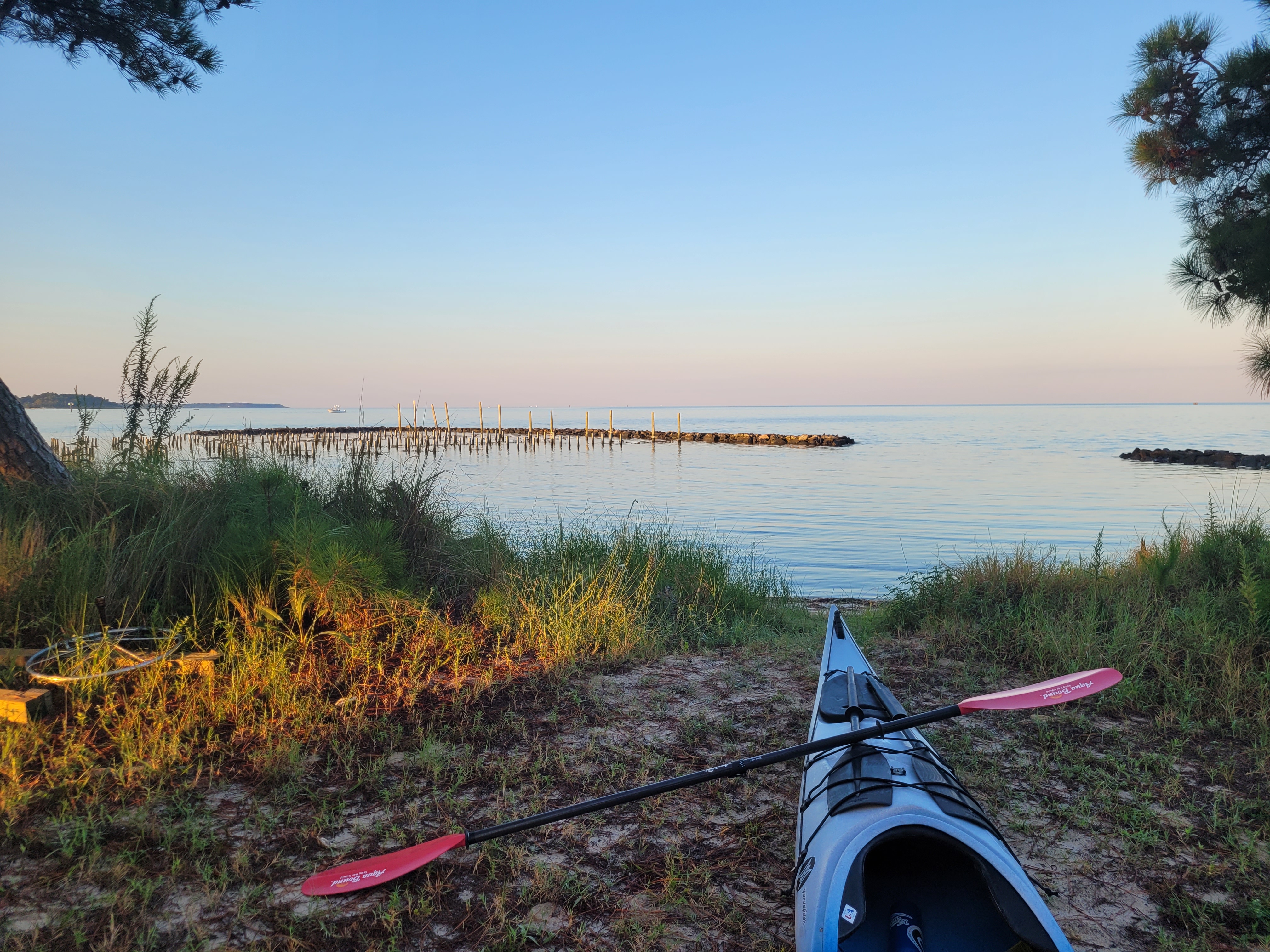
Now, as all of my blog posts seem to begin, I saw the marine forecast was calling for 5 kt winds from the SE and The Weather Channel was calling for “abundant sunshine.” I booked another shuttle with Wave Riders, loaded up my kayak the night before, and started my drive down to Machipongo at 5 a.m. the next morning.
The sun came up only 15 minutes before I arrived at Lambert Shellfish, and the bay had a gorgeous pink/blue glow to it. Winds were totally calm. It was stunning.

As soon as I launched, I again spotted a handful of small stripers in the shallow water (same thing happened when Lisa and I launched there a few weeks ago). There were also a number of fish jumping. Like 12″ bluefish! I think I even spotted a Spanish mackerel, which Brian confirmed was quite possible. And now he wants to launch there too, so he can fish! 🙂

This area seems to be packed with sandbars, which I noted in my previous post while paddling to Morley’s Wharf. Today was a higher tide and most of the sandbars were submerged, but still a few were above the waterline, allowing birds to hang out, like this great blue heron. For some reason I don’t see a ton of herons in this part of the bay. Usually, I have to be in a narrow creek to spot them, so this guy looked goofy to me, out enjoying the sandbar all by himself.
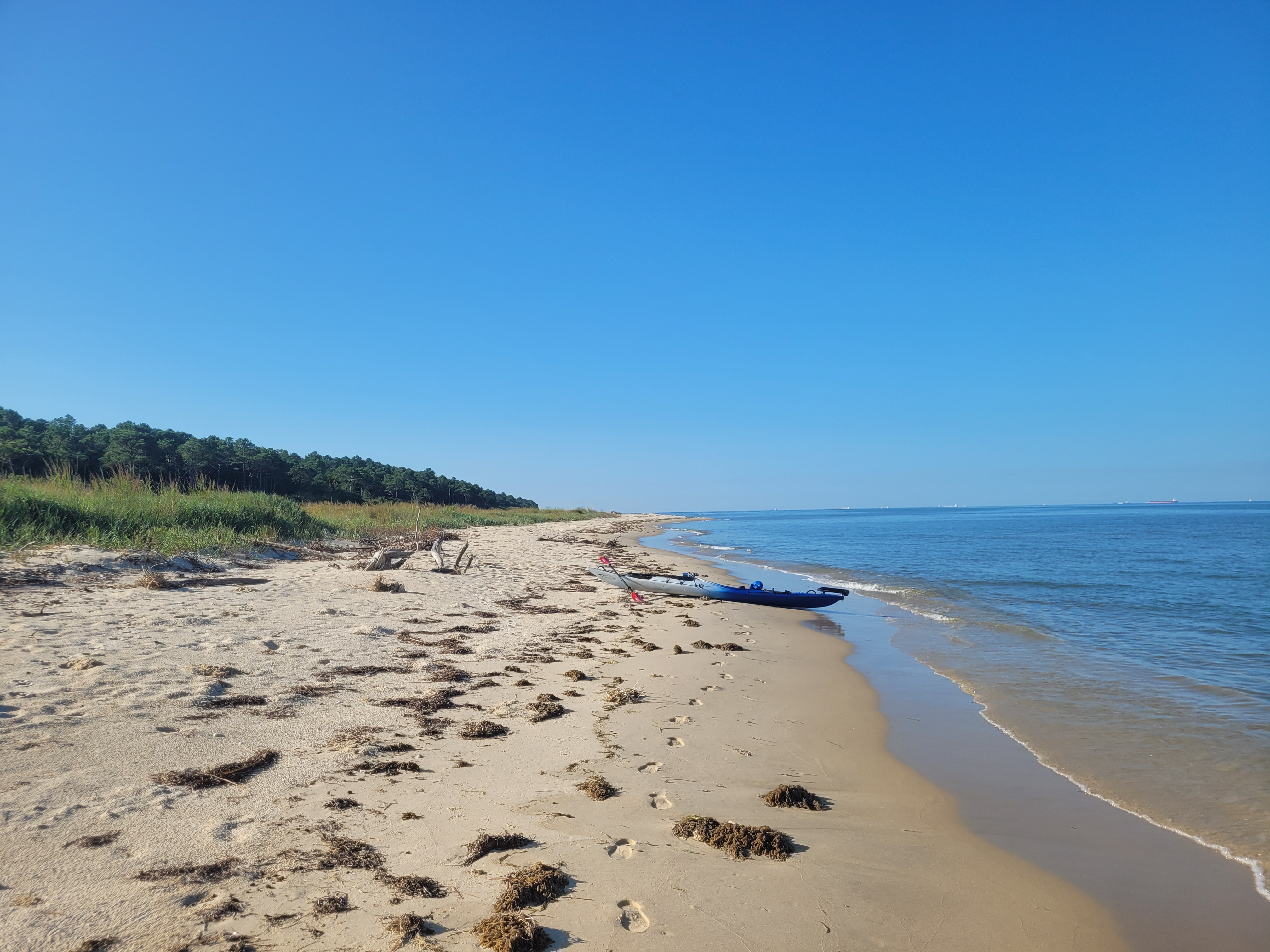
I had big plans on this trip to get out and explore Savage Neck Dunes, a state natural area preserve. Brian, Patrick, and I explored the trails back in early 2020 and I was stunned at the topography and massive dune system when we were there. But today I could not spot where the trailhead was, and I didn’t see any human footprints on the beach. I wondered if maybe it is currently closed to visitation, so I have a call into my contact at DCR to find out the scoop. I did land my kayak on the southern end of the property and walked a small stretch of the beach. There were TONS of fox and ghost crabs tracks, but no human tracks except mine.

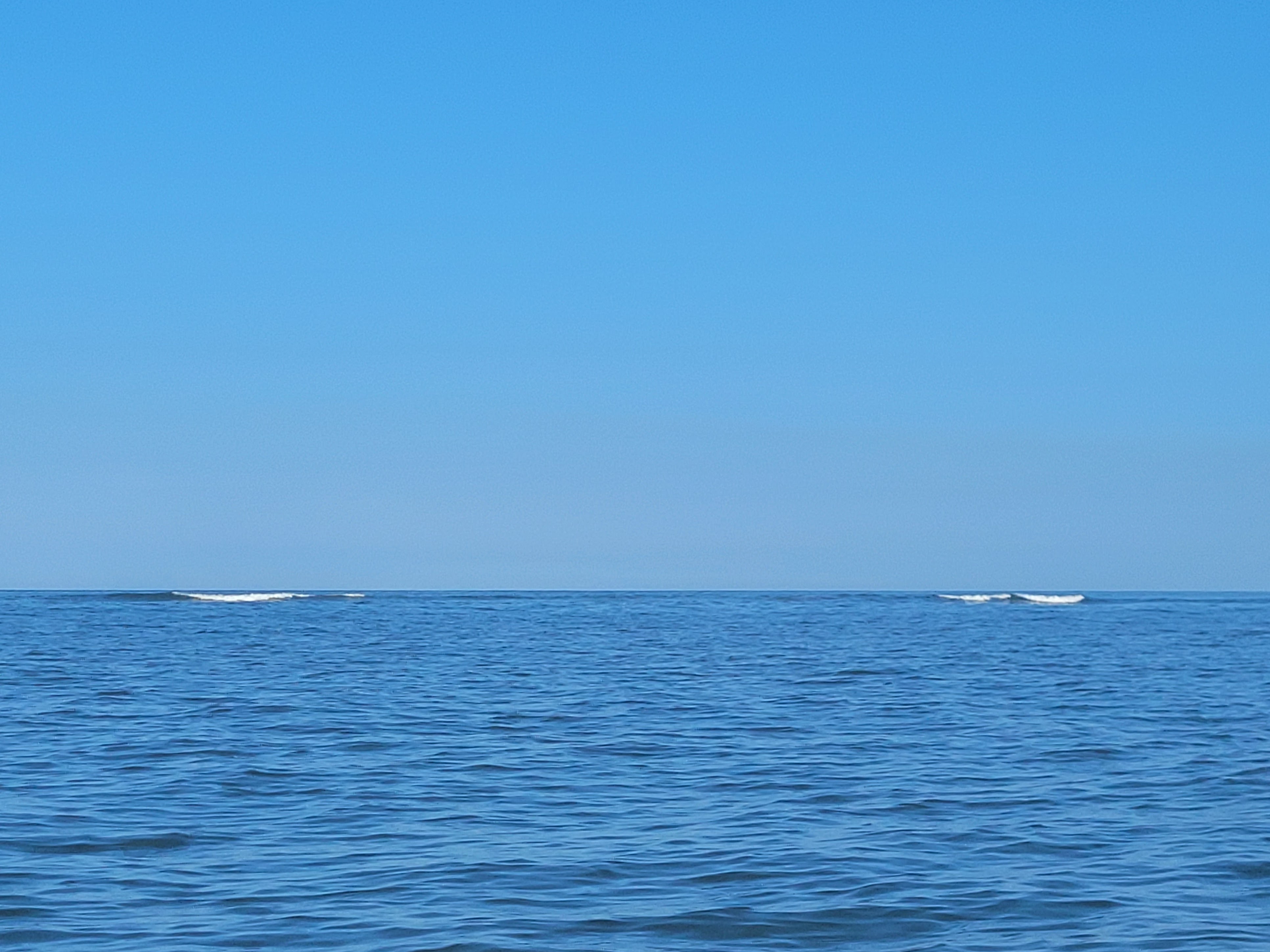
The sandbars in this area seemed to continue all the way south, almost to Cape Charles. At times, I spotted larger waves (likely wakes from container ships) crashing into them. At first I was slightly alarmed at the possibility of a rogue wave coming at me (although I’m told there’s no such thing as a rogue wave!), but then I realized they were just more sandbars, ultimately providing protection for me and reducing the wave energy closer to shore.
As I approached the mouth of Cape Charles Harbor, I was also grateful for the breakwaters that are just offshore. This again protected me from larger boat wakes as I entered the busy harbor.
Cape Charles is interesting to me. On one side of the harbor, you have a gorgeous fishing pier, historic homes, and a quaint downtown. The other side is majorly industrial. Large machinery was moving sediment from barges into giant piles. A work boat was racing out of the harbor, and a handful of recreational fishing vessels were coming and going from the boat ramp.


When I arrived at the boat ramp, I was happy to see a kayak launching area, so I didn’t have to get in the way of several fishing vessels AND a USCG rescue boat. But I’m honestly not a fan of floating kayak launches. They seem great in theory, but it would’ve been way easier to just use the boat ramp. It was difficult to shimmy myself far enough onto the floating launch so safely get out, and once I was out, it was incredibly awkward getting my kayak out of the launch itself. Again, I was glad I wasn’t in the way of the boaters, but floating launches are not my thing.


When I finally got out, I felt SO accomplished. I’m officially finished paddling Virginia. But with one caveat. Brian thinks I need to paddle Fishman Island. This is the southernmost barrier island of the peninsula and it was not part of my original goal. I paddle INSIDE all of the barrier islands – not out in the ocean! But I told him I’d be up for the challenge if he went with me. He paddles and fishes Fisherman Island often, so he knows what to expect when it comes to tides, currents, and surf. If the weather works out, we may do this as part of our 10-year anniversary trip in early October. We’ll see though 🙂
I locked my kayak to a piling, ate some lunch at a picnic table, and before I knew it, my driver from Wave Riders was there to shuttle me back to my car. Long, tiring, but super productive day!
Here’s the 10.8-mile path I took today:
