
I didn’t take my normal September Staycation this year. Once Paddlefest was all wrapped up (it was a huge success!), I was free to take some time off. Patrick and I flew out to visit my sister in Breckenridge Colorado for 5 days, and now I’m just freely taking a day off here and there when the weather is suitable for paddling!
Today I paddled a good chunk of Kent County, MD – the fartherst north I’ve paddled as part of this goal so far! I really haven’t spent any time in Kent County, Maryland so it was fun to see the countryside. This part of Delmarva has some rolling hills and it is reminiscent of my childhood stomping grounds of northern Baltimore County (minus the Chesapeake bay shoreline!).
I got up at 5 a.m. and drove to Still Pond Station Park. However halfway there I realized I forgot the delicious lunch I had packed and had to stop at a gas station for granola bars 😦 The park wasn’t much more than a tiny beach and a boat ramp and there wasn’t a soul in sight. It’s also the site of a USCG small boat station, but I didn’t see much activity at the station, even though I read that it was supposed to be manned through mid-October.
I unloaded my kayak, locked it to a fence, and then drove to Betterton Beach. From there I parked, unloaded my bike, and biked back to Still Pond. I’m glad it was only a 6 mile ride, because I’m not a strong cyclist AND there were hills!
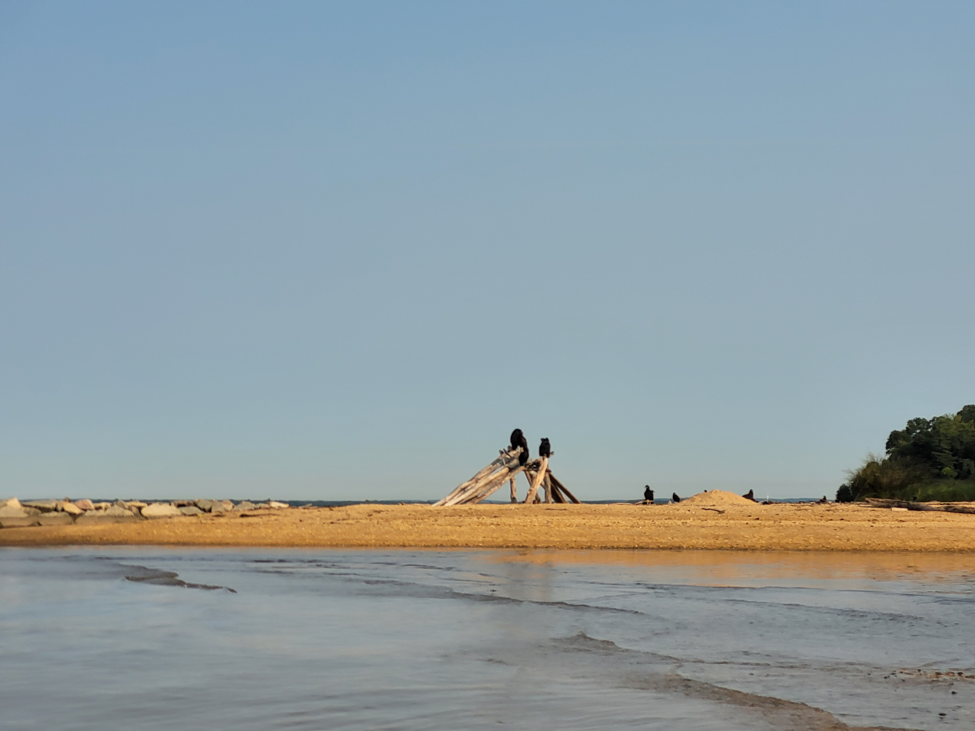
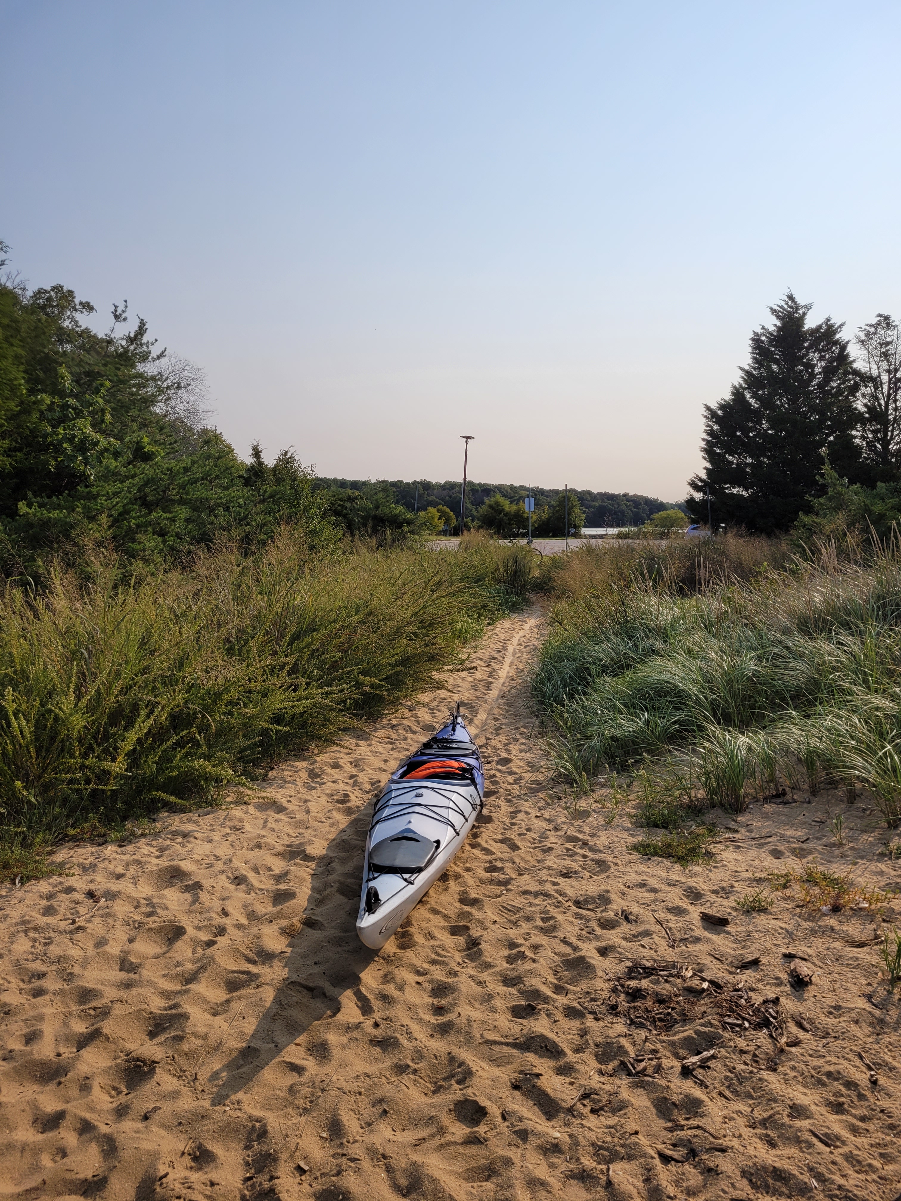
Once I arrived at Still Pond I swapped my bike for my kayak and launched. This launch was kinda creepy. There were some uninhabited buildings (maybe from the coast guard?), nobody around, a slightly overgrown parking lot, and a TON of black vultures lurking around! I was eager to get on with my paddle so I didn’t waste any time. While the launch itself was nice, I wasn’t feeling the overall vibe of the “park” (if you could even call it that). BUT, the park had two places to launch, and they are free public access points to the bay, and public access is ALWAYS a good thing, so I’m not complaining.
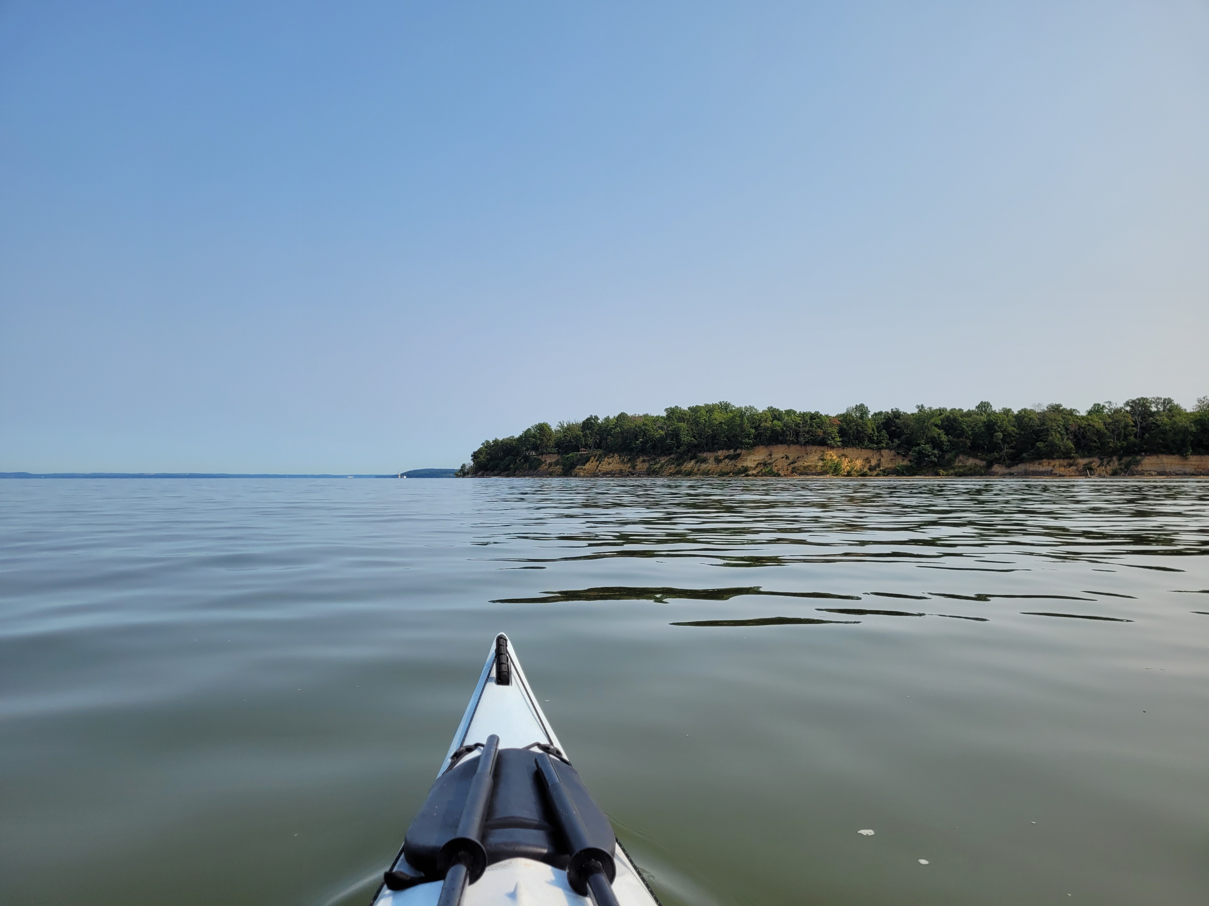
The cool thing about paddling this region is the topography. I am so used to salt marshes and flat land, that I forget that the upper portions of Delmarva have a little elevation. I paddled by some pretty tall cliffs, which I haven’t really seen anywhere on Delmarva except down near Cape Charles, Kiptopeke, and Savage Neck Dunes.

Wildlife along this route was minimal, except for the vultures, cormorants, and LOTS of eagles. If you haven’t seen many eagles around the Chesapeake, I would definitely recommend this area – I didn’t count, but I must’ve seen at least two dozen, both juveniles and adults.

In just 90 minutes, I arrived at Betterton’s boat ramp. My average moving speed was 4 mph – that might be a record for me!
Now, years ago, I mapped out possible legs for this goal, and I had planned the section from Betterton to Grove Neck to be out-and-back style, as there is no public access at the end of Grove Neck Road. Since I was still feeling pretty strong after 6 miles, and I had only been paddling for an hour and a half, I decided to go for the additional 4 miles to go to, and from, Grove Neck.
The winds were almost nonexistent at this point, and boat traffic was minimal, so paddling across the mouth of the Sassafras River was smooth. Once I got to Grove Neck, I took photos of where I turned around, so that when I eventually approached this spot from the north, I would know how far south I needed to paddle (you know, to connect the dots, so to speak).
The last mile was exhausting. I’m not really sure why – 10 miles is usually still in my comfort zone, but I think there’s some kind of mentality that I get in when I know I’m in the last mile of a paddle; doesn’t matter how many miles I cover!
Once I arrived at Betterton, I loaded up my kayak, drove to Still Pond to retrieve my bike, and headed home. The drive home was over 2 hours, so I’m glad I paddled two legs, to make it feel more worth it! I’m thinking next time I make it a multi-day excursion and just cross Kent County of my list altogether in one trip!
I’ve now paddled 484 miles of my ~650 mile goal!
Here’s the path I took today:
